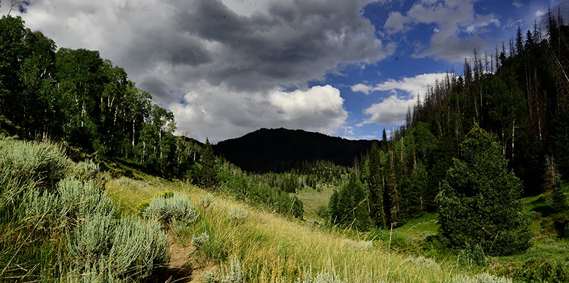
 by Stephanie Smith, GIS Director
What areas on our public lands across the Colorado Plateau don’t have cows?
It seems like a straightforward question, but the answer is far from simple. As the Geographic Information Systems (GIS) director at the Trust, I could tell you a location here and there, but across a landscape that covers over 123,000 square miles, spans four states, and includes eight public agencies, the answer gets muddy quickly.
To find these ungrazed lands on the plateau, a team of us set out on a multi-year project requiring in-depth research, help from dedicated volunteers, and a massive amount of mapping. We call this effort, Where Cows Don’t Graze.
Grazing data is not kept in one repository. And while most public land grazing occurs on Bureau of Land Management or Forest Service lands, not all does. We have to consider lands managed by the Fish and Wildlife Service and National Park Service, as well as special designations like national monuments and research natural areas. Add in subdivisions of each agency into national, state, and local offices, and the search for data really starts to get prickly.
Some GIS data exists for select local offices, but it is not consistent, not easily assessable, and often, grazing status is excluded. We quickly realized, if we want a single database of all the areas closed to grazing on the Colorado Plateau, then we’d have to amass the data and create it ourselves.
As our research team made hundreds of phone calls to various agencies and offices for documentation on cattle-free areas, the GIS team started building the digital database and framework that would house the information — a map of all the ungrazed lands across the Colorado Plateau. This proved equally challenging as the data hunt itself. Some cattle-free areas are as large as national parks, like Arches, while others are small fenced areas called exclosures that are smaller than my urban backyard in Denver. And of course, no agency organizes its GIS data the same way. To make it even more complicated, some areas don’t have distinct boundaries but instead, descriptive text about what areas are not grazed. In those cases, we had to interpret and manually create the boundaries.
Below you can explore what lands we know to be closed to grazing right now. It is still a work in progress and changes almost daily.
But the mapping effort does not stop there. Knowing what lands are not grazed is only the beginning of this project. Ultimately, we want to better understand the impacts of grazing on the plants, animals, biocrusts, and waters of our public lands. By comparing the conditions of cattle-free lands to grazed areas, we believe we can better understand how our desert lands recover in the absence of large hoofs and aggressive appetites. To make these observations, we need boots on the ground.
Documenting the health of grazed and ungrazed lands across the entire Colorado Plateau is impossible without the help of volunteers. In 2018, we started training volunteers to become Where Cows Don’t Graze citizen scientists. Afterwards, we ask them to visit locations that we've confirmed to be closed to grazing and a comparable grazed site nearby (also isolated by a mapping analysis that I’ll save for another story).
We provide the list of possible locations for volunteers to visit, and they choose where they want to go. Using ESRI’s Survey 123 application, we developed a system that feeds directly into our mapping platform and allows volunteers to record their observations from each site.
Behind the scenes, our GIS team is connecting the volunteers’ observations with the cattle-free areas and working to build a platform where users can visualize the areas that are closed alongside the volunteers’ photos and observations. Together, we are building the body of knowledge that we will use to further tell the story of grazing across the Colorado Plateau. Our hope is that Where Cows Don’t Graze will encourage greater research on ungrazed lands.
As 2024 draws to a close, we look back at five maps we created this year that give us hope for 2025.
Read MoreFour of the five most dangerous sections of the haul route are on the Navajo Nation.
Read MorePronghorn and barbed wire fences don't mix, but volunteers are working to change that, one wire at a time.
Read More