Guiding understanding
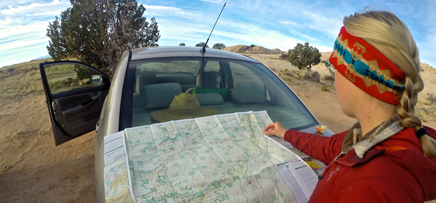
Maps have served as one of the most effective and important forms of communication throughout history. From the ancient maps of past civilizations, to the modern technological age of geographic information systems (GIS), maps have informed, defined, charted, and guided human understanding. Here at the Trust, we use maps to help tell the story of our work. We connect people to locations on the Colorado Plateau, display patterns and trends across landscapes, and help everyone better understand our environment.
Using art and science, we design maps that illustrate physical characteristics, cultural values, proposals and conservation actions, and vulnerabilities across the Colorado Plateau. Our work reaches broad audiences, including policy-makers, constituencies, government agencies, and our members.
Of course maps help us get from point A to point B. But maps do more than help us find our field sites. At the Trust, we use them to:
Our award-winning interactive web maps provide front row seats to conservation issues, threats, and accomplishments across the Colorado Plateau. Through dynamic maps, 3D displays, videos, and photography, you can take a digital journey across the Colorado Plateau.
As 2024 draws to a close, we look back at five maps we created this year that give us hope for 2025.
Read MoreFour of the five most dangerous sections of the haul route are on the Navajo Nation.
Read MorePronghorn and barbed wire fences don't mix, but volunteers are working to change that, one wire at a time.
Read More
Plan your next hike! Find routes, topo maps, directions, elevation profiles, and more.