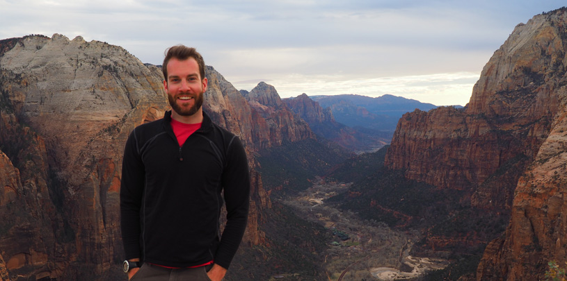
 by Chris Jackson-Jordan, GIS Intern
After six years in college and graduate school in the Southeast, I was excited to swap Appalachia’s dense forests for the Southwest’s wide-open desert vistas during an internship with the Trust. This was the final requirement to finish my master’s degree in Geography from Appalachian State University, as I learned how the power of Geographic Information Systems (GIS) integrates into conservation.
As a rock climber, outdoor enthusiast, and environmentalist, I couldn’t wait to experience the Colorado Plateau’s towering mountain peaks covered in aspen and pine, serpentine canyons whose monolithic walls loom over rushing brown rivers, and the other iconic landscapes that define the American Southwest. I anticipated hundreds of sunny, dry days, as well as its seemingly endless wild places.
Long ago, I developed a passion for the outdoors; I knew I wanted to apply my GIS skills to landscape protection, and I couldn’t wait to get started.
GIS is a powerful analytic software and science that transforms data into visualizations, primarily in the form of maps. Key to many professional fields, GIS can track consumer habits across space for a delivery business, analyze municipal utility networks for a city, or map demographic trends for a political campaign. In the conservation world, GIS can monitor wildlife migration corridors, analyze vegetation types, and help with land-use planning efforts. It’s a vital tool for ecological analysis, public outreach, and landscape protection.
Coming into my internship, I wasn’t sure how my job as a GIS Intern would play into the larger role of the Trust, a conservation leader in the in the American Southwest. I knew that GIS could be a huge asset by providing important spatial analysis and looking at environmental and ecological data from a landscape-wide perspective, and the Trust wasted no time putting me to work.
I quickly began creating maps for a variety of projects, including mountain goat densities in the La Sal Mountains near Moab, vegetation research sites in the Manti-La Sal National Forest, development pressures across the Colorado Plateau, uranium mining and milling near the Grand Canyon, and proposed borders of environmental and cultural conservation areas. One of my largest projects involved collaborating with Trust staff to create a multimedia online “Story Map” that serves as a visual narrative of excessive energy development in Utah's Uinta Basin.
By working on a variety of projects and sampling the Trust’s different programs, I learned firsthand how GIS and cartography play a central role in telling the conservation story. People often have a hard time envisioning environmental threats if they can’t visualize them spatially. For example, how does the proximity of a uranium mine to a Grand Canyon spring impact it? Seeing a spatial representation aids in that understanding.
One of the best parts of GIS is creating products people use to understand places – where to go, and how to get there. In the office, I helped create a field map for navigating the sandy roads of the Paria Plateau. On the ground, I used it myself.
The Paria Plateau is a sandy expanse of rangeland that sits on top of the Vermilion Cliffs National Monument. Field maps are essential to navigate the maze of old ranch roads and avoid the sand traps that waylay so many tourists. As I accompanied a co-worker on a trip to maintain bat stations on top of the Paria, it was a new sense of accomplishment to be using a map I'd created (although I realized it needed additional edits to navigate the complex labyrinthine road network).
The amazing thing about the conservation field is that we are encouraged to experience the places we work to protect. After spending days working on wilderness proposal boundaries in southeastern Utah or mapping mines around the Grand Canyon, I would visit the thrilling wild places across the Colorado Plateau, sometimes for work, sometimes for pleasure, and see what I had been looking at on a computer screen spring to life.
As 2024 draws to a close, we look back at five maps we created this year that give us hope for 2025.
Read MoreA small victory in the legal case challenging Daneros uranium mine, near Bears Ears National Monument.
Read MoreMugs, handmade soaps, high fashion, jewelry and more. There's something for everyone on your holiday shopping list.
Read More