A short walk up a wash to an otherworldly landscape of rock formations called the toadstools
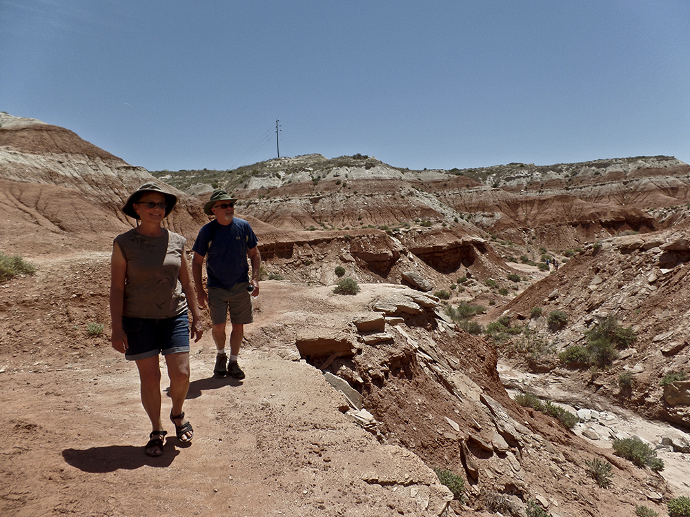
Pull off the highway, and stretch your legs on the trail to the toadstools.
While this hike is only 1.6 miles roundtrip, it’s a south-facing route with little to no shade. Be sure to bring plenty of water and sunscreen if you’re hiking here in the summer!
Hike to the toadstools
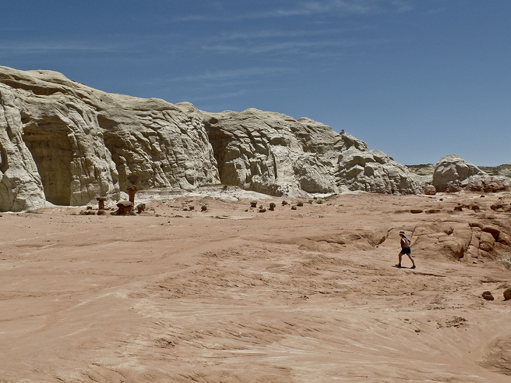
After signing the trail register, walk through the cattle gate and continue north towards the badlands ahead. A brown post marks the trail up the wash; yuccas, sagebrush, and patches of cryptobiotic soil dot the benches.
Around 0.4 mile, you climb out of the wash to bypass a small pouroff, contouring along the right slope until the trail drops back to the sandy bottom. The drainage forks, and a well-defined trail leads up towards the Entrada Sandstone hills.
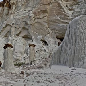
How did the toadstools form?
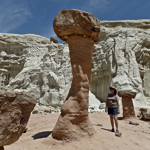
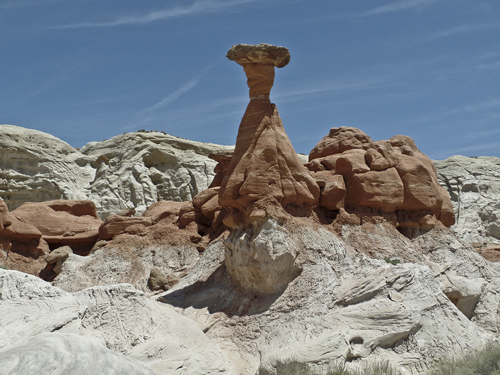
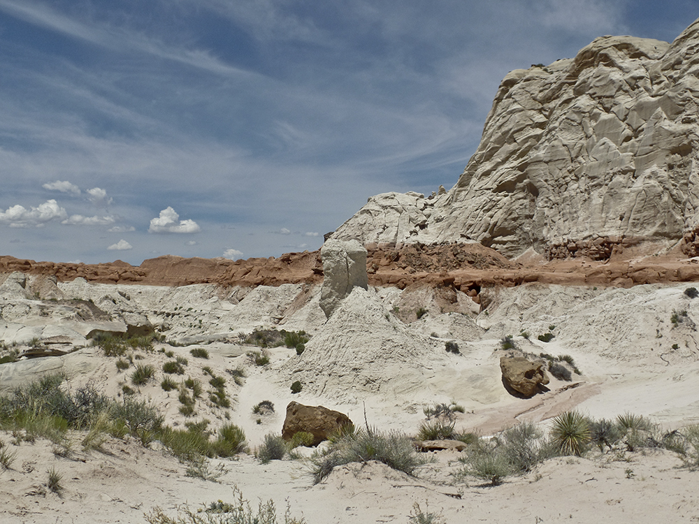
The trail climbs to the top of a knoll, where it opens into a landscape of hoodoos, alcoves, and balanced rocks. These “toadstools,” or hoodoos, form because Dakota Sandstone boulders perch atop pedestals of softer Entrada Sandstone. As the Entrada erodes away, the harder Dakota forms a cap, and leaves a rock column sheltered from water and wind.
Wander among the unworldly towers, but avoid touching and climbing on these fragile formations. Return the way you came.
Directions to the Toadstools trailhead
From Kanab, Utah: Drive east on Hwy 89 for 44.5 miles. Slow down when you pass the Paria Contact Station, and watch for a wooden BLM sign marked “The Toadstools.” Turn left into the parking area on the north side of the road, which is in the Grand Staircase-Escalante National Monument.
From Page, Arizona: Drive west on Hwy 89 for 27 miles. Look for the BLM sign and turn right into the parking area on the north side of the road.