Hike through Wire Pass, a tight slot canyon, to reach the confluence with Buckskin Gulch.
The hike from Wire Pass to Buckskin Gulch is a southern Utah classic and includes all the ingredientsfor adventure: slot canyons, colorful sandstone, muddy pools, and sand pits.
IMPORTANT: Do not hike Wire Pass if there is any possibility of rain in the watershed area. Many people have died in slot canyons due to flash floods.
Hike Wire Pass to Buckskin Gulch
The trail departs on the east side of a gravel parking lot that can hold about 30 cars. The trailhead is quite obvious, with two information signs, a trail register, and a fee station.
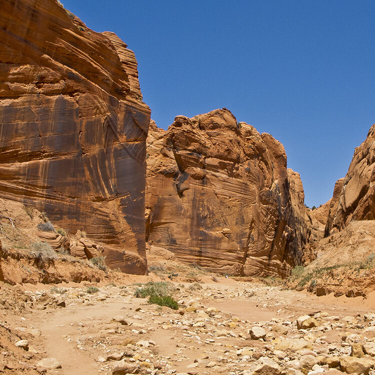
After crossing the main road, the trail drops into a wash that is usually dry. It immediately climbs out of the wash on the far side, but many hikers opt to go down the streambed instead. Either way works. After wandering through sagebrush, the trail comes to a fence with an opening for hikers. The fence keeps cattle out of Wire Pass, which makes the hiking much more pleasant. Soon after the fence, the trail drops back into the wide streambed.
About 0.6 mile from the trailhead, you reach the junction with the Coyote Buttes Trail, which climbs up some sandstone ledges on the right side of the streambed. The number of visitors allowed into Coyote Buttes, and the internationally renowned “Wave,” is limited to provide a quiet and solitary experience for permit holders. The trail to Wire Pass continues down the streambed. A couple hundred yards past the junction, the wash curves to the right and you get a nice view of “The Dive,” a slickrock butte on the other side of Buckskin Gulch.
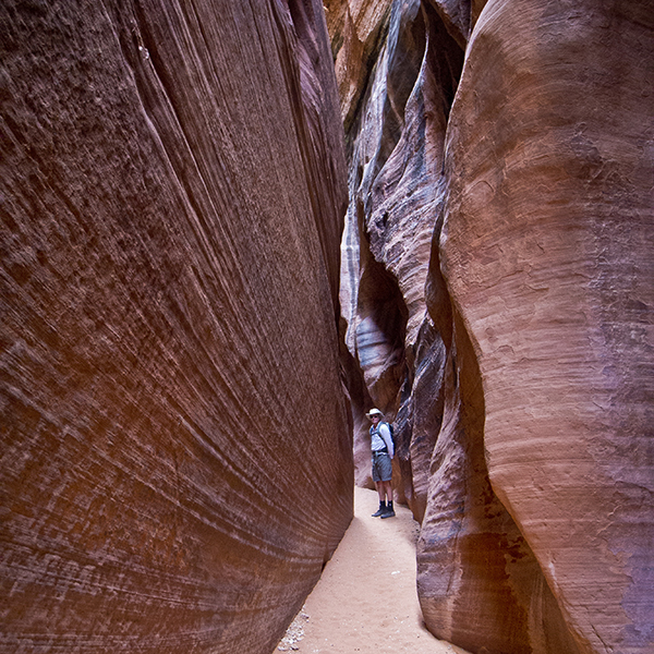
Roughly 1.1 miles from the trailhead, you will reach the first spot where the wash pinches down a bit but soon widens again. After another few hundred yards, the canyon narrows more seriously. For the next few hundred feet, you’re truly in a slot canyon — only a few feet wide and as much as 75 feet deep.
Petrified sand dunes
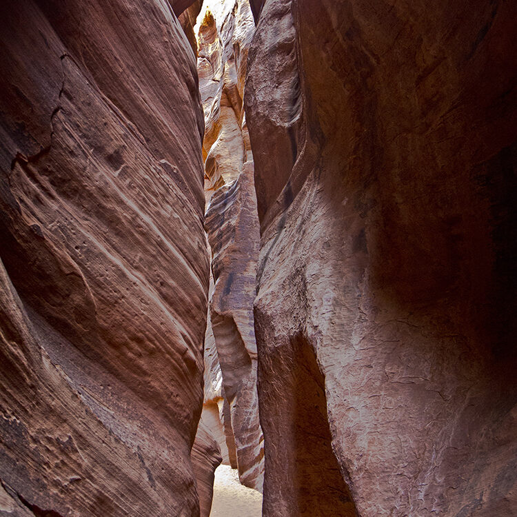
During the Jurassic Period, almost 200 million years ago, this area was covered in drifting sand dunes. As the direction of the winds changed and the dunes shifted into different configurations, the earlier dunes were buried, but they retained the subtle layers that had been shaped by the wind. As water seeped in and began to cement the sand grains together, their alignment was frozen in time. The result was beautiful crossbedding — the angular striations on the vertical canyon walls — that has been exposed by erosion. In more open areas, the layers frequently erode back in a series of small ledges.
Squeeze through wire pass
After this opening, you will enter the deepest and narrowest part of Wire Pass, which continues for a few hundred feet before reaching Buckskin Gulch. This section of Wire Pass narrows down to no more than three feet wide, yet it is several hundred feet deep. The filtered light bouncing off the highly textured walls is a photographer’s dream. On a hot day it is wonderfully cool, but in the winter, it can be freezing cold, so take warm clothes with you on a sunny winter or fall day.
There is a large alcove on your right side soon after you leave the slot canyon. Just beyond the alcove there are petroglyphs pecked into the canyon wall a couple of feet above the streambed. Immediately after the alcove and petroglyphs, you reach the confluence with Buckskin Wash. Notice the large deposits of sand along the cliff faces in the open area of the confluence. This sand was deposited at some point in the past when the narrow downstream opening was choked off, creating a small lake where the sand could settle out.
The confluence of Wire Pass and Buckskin Gulch is the end of this hike; return the way you came. If you wish, you can continue up Buckskin Gulch, which is a relatively wide canyon, or you can hike down Buckskin Gulch a ways, which is a slot canyon but not as narrow as Wire Pass.
Directions to the Wire Pass trailhead
From Page, Arizona: Drive west on Highway 89 for 34 miles and turn left on House Rock Valley Road, just past a deep road cut where the highway turns sharply right.
From Kanab, Utah: Drive east on Highway 89 for 38 miles and turn right on House Rock Valley Road, just before the highway turns sharply left and goes through a deep road cut.
The Wire Pass trailhead is 8.3 miles from the highway junction. You pass the Buckskin Trailhead on the way to the Wire Pass Trailhead. The road is dirt and gravel, and in wet weather it can become impassable.
The trailhead can also be reached from Highway 89A, about 18 miles west of Cliff Dweller’s Lodge. Turn north on House Rock Valley Road just before 89A starts to climb the Kaibab Plateau. The trailhead is about 22 miles from the highway junction.
General Location Vermilion Cliffs National Monument
Closest Towns Page, Arizona and Kanab, Utah
Distance 3.4 miles (5.5 km)
Difficulty Easy
Trailhead Elevation 4850 ft (1,478 m)
Highest/Lowest Elevation 4,850/4,740 ft (1,478/1,445 m)
Managed By Bureau of Land Management
Fees Permit required for day use. Check the website below for current information
Pets Allowed
More Info BLM website
Adventure Awaits
Sign up to get three hikes in your inbox every month for a year.

Special membership offer
Join the Grand Canyon Trust today to receive your adventure kit:
- $25 donation: a Grand Canyon map, The Advocate magazine subscription, bookmark, and sticker
- $75 donation: everything above plus four stunning note cards
- $100 donation: all the benefits of the $75 level, plus a Grand Canyon Trust hat
Related Hikes by Destination
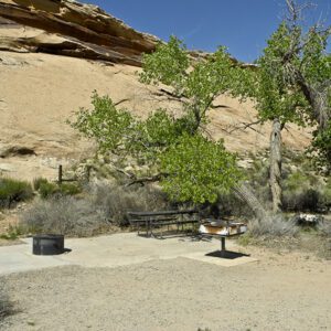
Sites: 25
Season: Open year-round
Reservations: For groups sites only
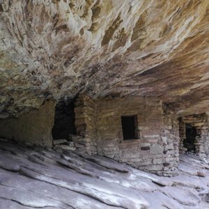
Distance: 8 mi (12.9 km)
Difficulty: Easy
Type: Out and back
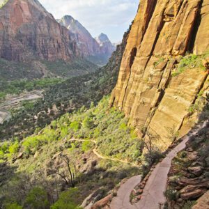
State: Utah
Nearest Town: Springdale, Utah
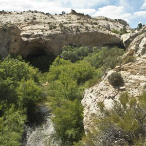
Distance: 2.2 mi (3.5 km)
Difficulty: Moderate
Type: Out and back
