A short hike to White House Ruin, a cliff dwelling in the bottom of Canyon De Chelly.
This is the only self-guided trail in Canyon De Chelly; visitors must have a guide to hike beyond White House Ruin.
Hike to White House Ruin
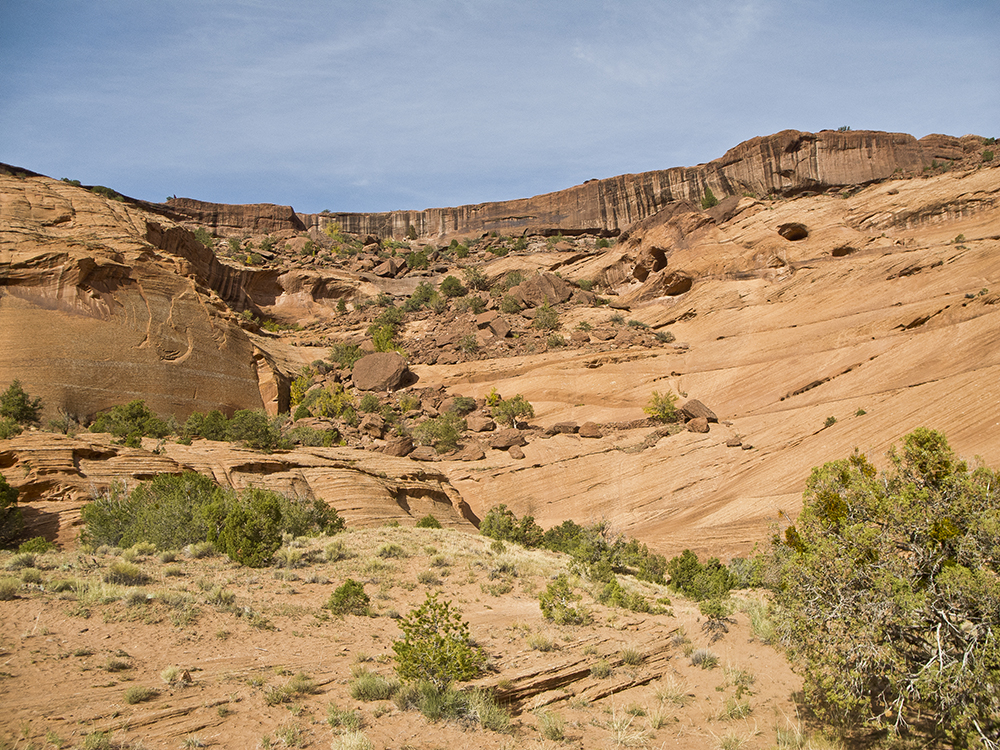
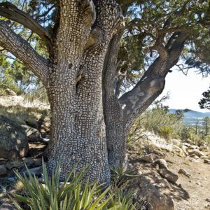
Leaving the trailhead behind, follow the canyon rim along a broad flat bench of De Chelly Sandstone, which was deposited as windblown sand dunes 250 million years ago. The trail continues to drop at a steady rate, and at 0.4 mile, it cuts through dark-colored Shinarump Conglomerate, composed of different sediments deposited by streams about 200 million years ago.
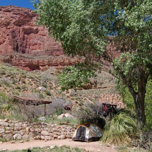
The trail continues to switchback down the De Chelly Sandstone into the large amphitheater, carved by the stream when it meandered along the bottom of the cliffs where residents now grow crops. At 0.75 mile, you reach a sandy bench. When the trail drops to the canyon floor, you’ll see a traditional Navajo home called a hogan.
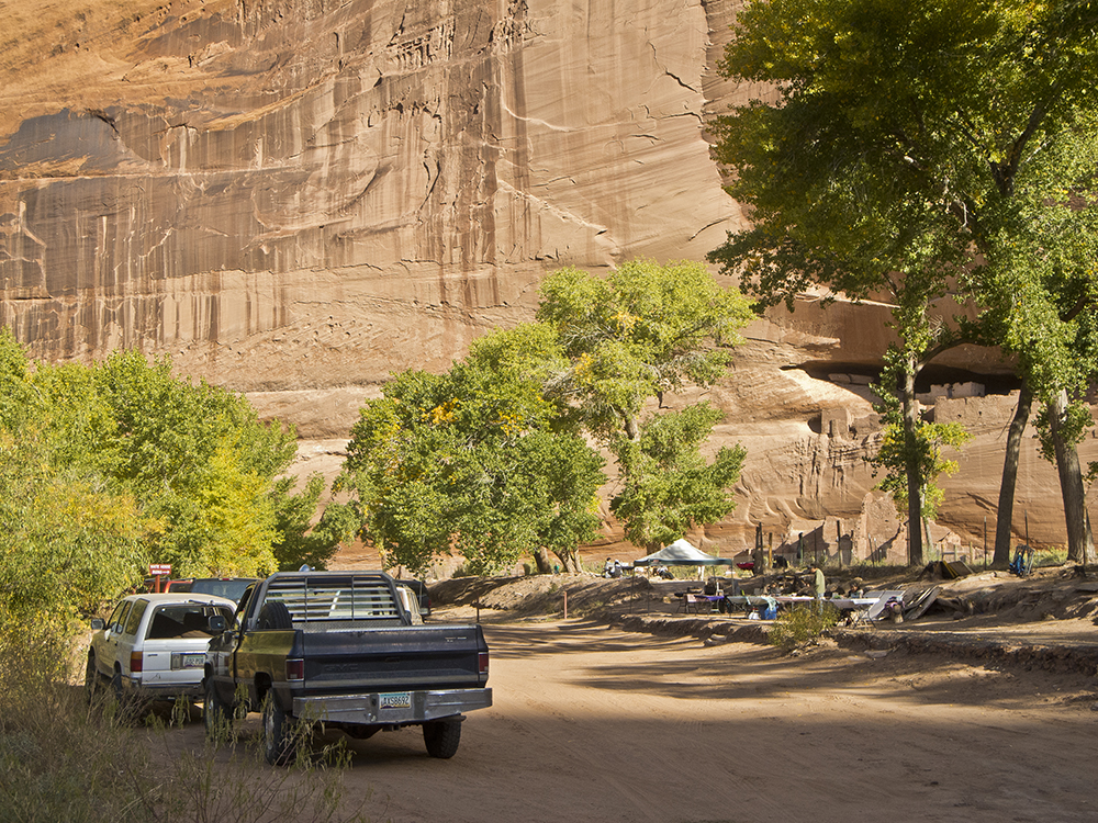
Canyon De Chelly is still home to many Navajo residents; please respect the sign that prohibits taking photographs of the hogan.
Continue to White House Ruin
After hooking sharply left, the trail crosses a deeply eroded sandy bench and goes downstream to a bridge. You can either cross the bridge or simply walk downstream (if there is no water) until you see White House Ruin on the right at the base of the cliff. Navajo venders selling arts and crafts are frequently sitting quietly in the shade of the trees beside the stream.
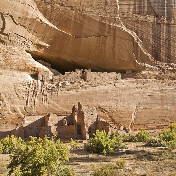
The light-colored plaster on some of the rooms led to the Navajo name for the site — Kinii’ ni gai — which means White House. Archaeologists believe the rooms on the canyon floor used to be high enough to provide access to the upper rooms in the alcove.
Although people have lived in Canyon de Chelly for more than 5,000 years, it was Ancestral Puebloans who built White House around 1060 AD. More rooms were added during the next 200 years, and archaeologists estimate there may have been up to 80 rooms and four kivas when it was most heavily used.
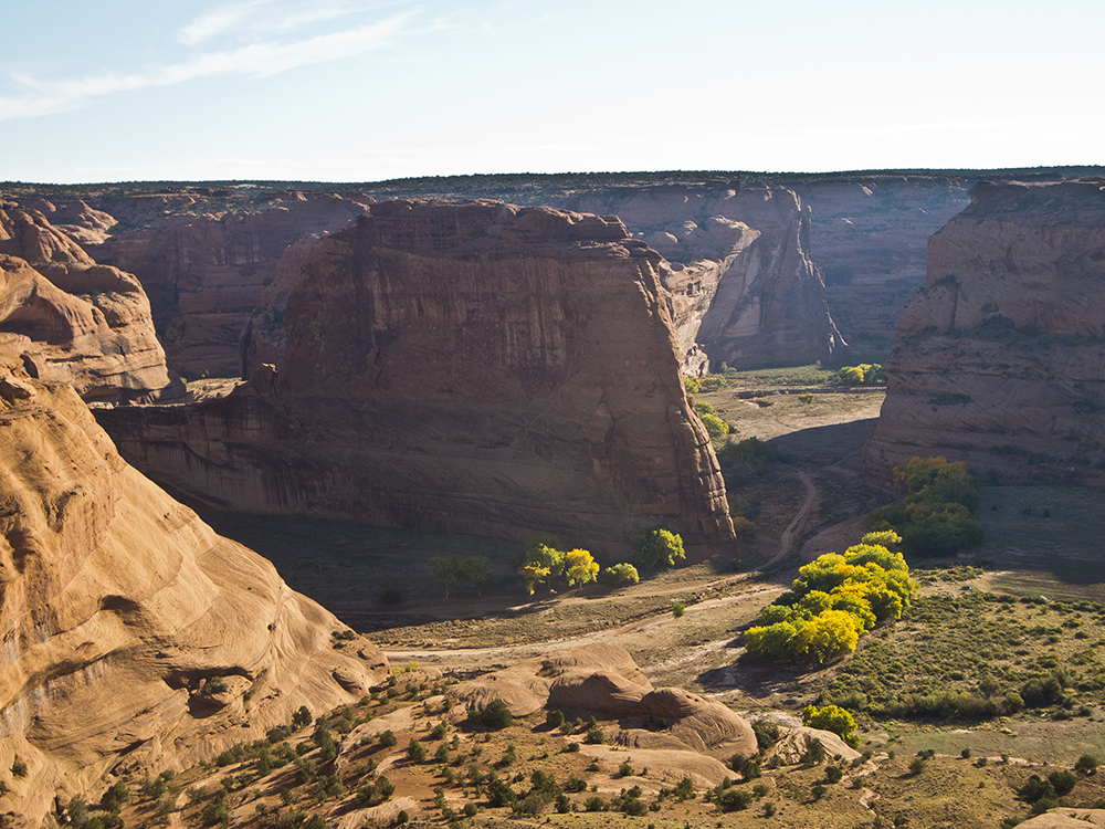
After enjoying the view of White House and the tapestry wall above it, return the way you came.
Directions to the White House Ruin trailhead
From the park visitor center, drive 5 miles on the South Rim road and turn left on the paved road to White House Overlook. Drive 0.75 mile to the overlook parking lot. The trail begins on the path to the overlook.