Have a long weekend? Hike a section of the Tonto Trail in the Grand Canyon
Link this section of the Tonto Trail with the New Hance and Grandview trails for a 3-day Grand Canyon backpacking trip.
This three-day backpacking trip requires a backcountry permit. Need help figuring out how to get one? We can help
Be sure to ask the Backcountry Office for the most recent water source reports before starting your hike — springs are few and far between and may be dry in hot weather.
Hike the Tonto Trail: New Hance to Grandview
Starting from the New Hance Trail on the South Rim, hike all the way down to the Colorado River. From there you can hike the Tonto Trail in either direction, but the following describes the route starting at Hance Rapid and traveling west toward the Grandview Trail.
Leaving Hance Rapid
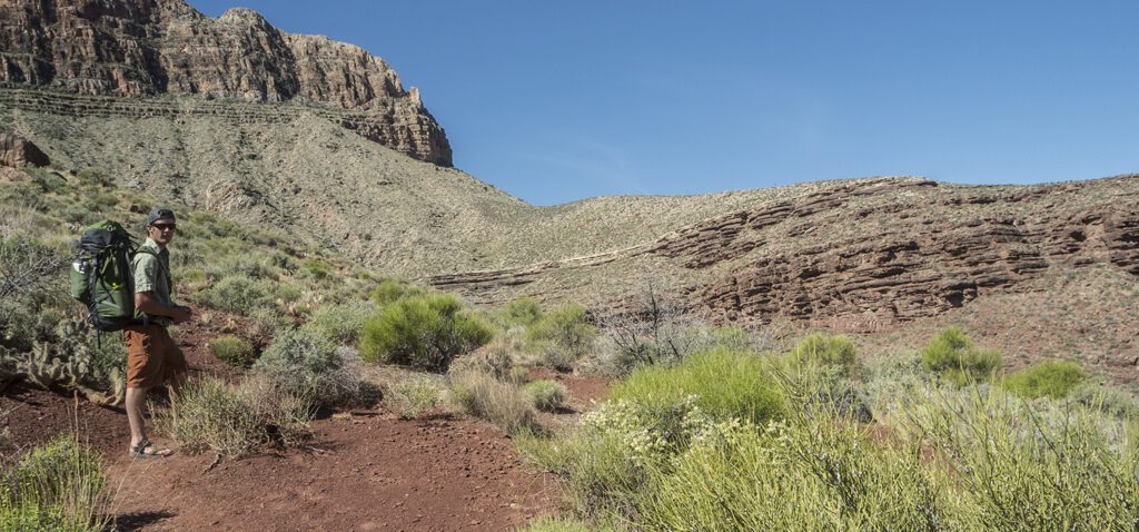
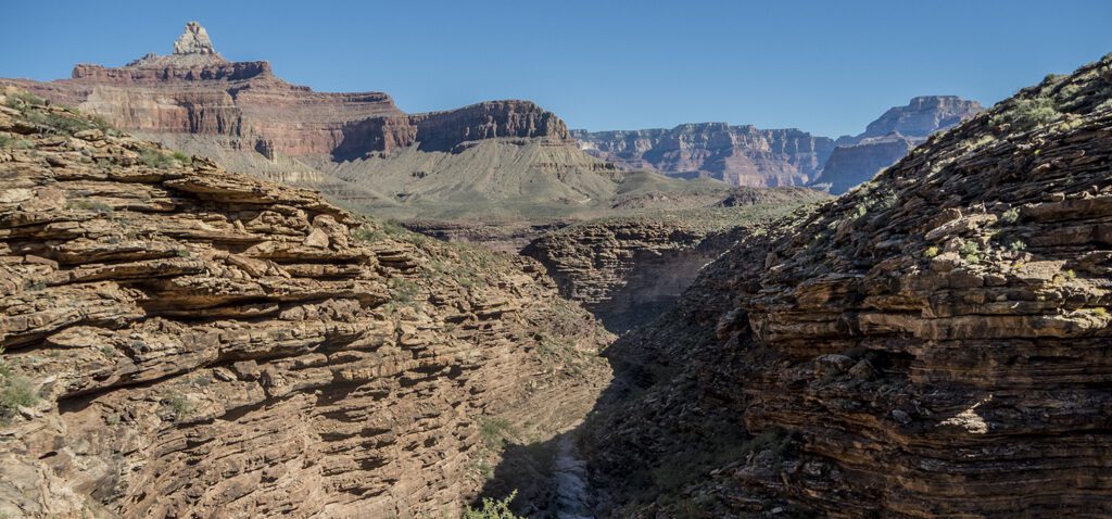
On the banks of the Colorado River near Hance Rapid, several footpaths lead downstream. Choose one and walk along the beach for about a quarter of a mile before starting the climb up the red Supergroup slopes. The route up and through the Hakatai Shale is rough and rocky. Keep an eye out for cairns. In another mile, the trail turns south and works its way back into Mineral Canyon. Cross the dry creekbed, and continue up the other side through the Tapeats Sandstone.
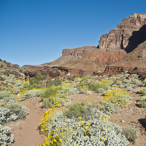
When you reach the Tonto bench around 3 miles, the trail flattens out and contours around the rock promontory called Ayer Point. Though weaving in and out of small gully is a bit tedious, relatively easy walking continues as you traverse into and out of Hance Creek.
Around 7 miles, the Tonto Trail splits. To hike out on the Grandview Trail, stay left and begin the steep climb up to Horseshoe Mesa. The other branch of the Tonto Trail continues west contouring around the bottom of the mesa.
As you ascend the Redwall Limestone, the trail is steep, exposed, and rough. Mining relics sit along the side of the trail, hinting at the Last Chance Copper Mine on Horseshoe Mesa that operated in the late 1800s. Be sure to take the short detour (signed) to the delightful Page Spring (formerly called Miner’s Spring). Ferns line the back of this lush alcove, and water drips into a small pool.
Towards the top, the trail crosses an interesting quartz vein. Just past this, you crest the top of Horseshoe Mesa and intersect the Grandview Trail.
Hike out on the Grandview Trail
From Horseshoe Mesa, you have less than 3 miles of climbing to reach the South Rim. See more details in the Grandview trail guide.
Directions
Since this section of the Tonto Trail starts 5,000 feet below the rim, driving to the trailhead is not an option. You must get there by foot. See the New Hance and Grandview trails for more information.
Suggested itinerary
Day 1: Hike down New Hance, camp at river (BD9)
Day 2: Hike the Tonto Trail west and camp at Hance Creek (BE9) or Horseshoe Mesa (BF5)
Day 3: Hike out via Grandview Trail
Need help figuring out permits? We can help
General Location Grand Canyon National Park
Distance 8 miles (12.9 km)
Difficulty Strenuous
Trailhead Elevation 2,600 ft (795 m)
Highest/Lowest Elevation 4,900/2,600 ft (1,500 /795 m)
Fees Park entrance fee required. Camping below the rim requires a backcountry permit and additional fees. See website below for current information.
Pets Not allowed
More Info NPS website
Adventure awaits
Sign up to get three hikes in your inbox every month for a year.

Special membership offer
Join the Grand Canyon Trust today to receive your adventure kit:
- $25 donation: a Grand Canyon map, The Advocate magazine subscription, bookmark, and sticker
- $75 donation: everything above plus four stunning note cards
- $100 donation: all the benefits of the $75 level, plus a Grand Canyon Trust hat
Related Hikes by Destination
Distance: Up to 13 miles
Difficulty: Easy
Type: Point-to-point
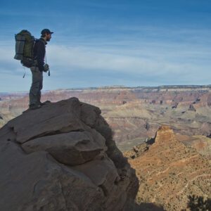
Distance: 6.6 miles (10.6 km) one way
Difficulty: Moderate
Type: Out and back
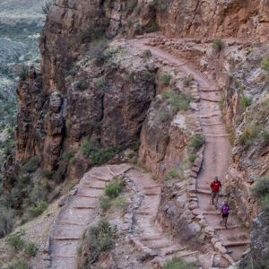
Distance: 9.5 miles (15.3 km)
Difficulty: Strenuous
Type: One way
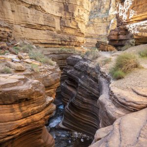
Distance: 27.9 miles
Difficulty: Strenuous
Type: Out and back
