A grueling hike up the east wall of Zion Canyon, the Observation Point Trail ends at a phenomenal view
The views at the end of the Observation Trail make it worth every step.
From the Weeping Rock shuttle stop, you cross the bridge and reach a junction and sign with information about the three trails that can be accessed from this trailhead. The trail going left climbs to nearby Weeping Springs alcove, while the trail to Observation Point and Hidden Canyon goes straight ahead.
The trail wastes no time beginning the climb to Observation Point as it swings to the left and charges straight uphill. The trail soon reaches the first of numerous switchbacks that ascend the curving wall of the large amphitheater above Weeping Springs alcove. The towering sandstone monolith on the other side of the Virgin River is Angel’s Landing.
After about three-quarters of a mile, you reach the junction for the trail to Hidden Canyon, which takes off to the right. Continue straight ahead. After a couple more switchbacks, you’ll come to some sandstone steps. The pavement ends a couple of hundred yards beyond.
Echo Canyon
After a final long traverse to the north, the trail reaches the mouth of Echo Canyon, about 1.3 miles from the trailhead and 1,000 feet above the canyon floor. Observation Point is visible from here; it is on top of the white promontory with a reddish cap.
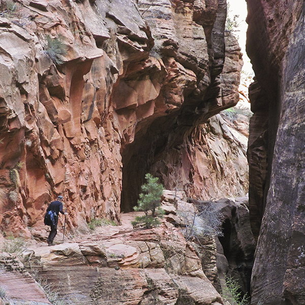
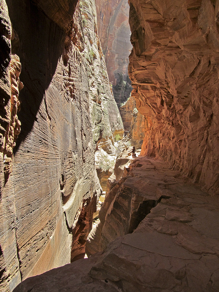
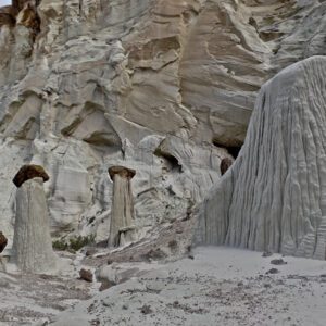
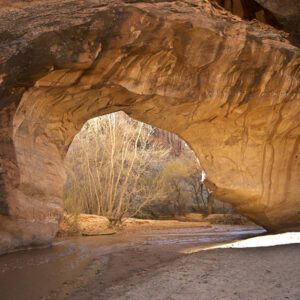
Entering Echo Canyon, the trail leaves the expansive, exposed views of Zion Canyon behind. The canyon widens and there are some nice plunge pools. The trail bears left at the base of a towering, overhanging cliff streaked with desert varnish and enters another narrow portion of the canyon. It crosses the creek bottom and goes up a ledge hacked out of the cliff face until it reaches a true slot canyon, or at least what was a true slot canyon before it was widened to allow the trail to traverse one side.
After crossing a bridge, the trail climbs up the left wall of the canyon. For the first time since leaving Zion Canyon, the West Rim becomes visible. The trail crosses a sandy bench, and you reach the junction with the East Rim Trail. Stay on the Observation Point Trail, which continues upward through a series of switchbacks. Keep your eyes open for the letters “SCA” and the dates 1975 and 1976 written in the concrete pavement. SCA stands for Student Conservation Association, which does volunteer work on public lands across the United States.
Amazing trail, amazing views
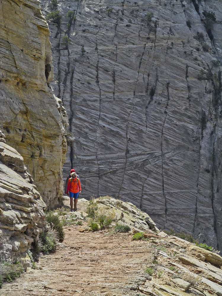
Above the switchbacks climbing through the broken rock of the upper basin, the trail is carved into the face of a wall of solid Navajo Sandstone. It’s hard to imagine how the men could have hung onto the cliff face to build this trail, which makes several long traverses across the face. Looking down at the lower part of the trail, you can see the Hidden Canyon Trail as it makes its way up from the junction with the Observation Point Trail and across the cliff face to Hidden Canyon.
Finally, after two more switchbacks and a particularly long traverse, the trail leaves the white sandstone and follows a relatively level ledge. In another quarter mile, the trail breaks into a wide open mesa top, and the junction with the East Mesa Trail comes in from the right.
The Observation Point Trail continues across the sandy mesa. After entering a stand of juniper and piñon pine, the trail drops down a series of small red sandstone ledges and arrives at Observation Point. Here you’ll have stunning views of Zion Canyon, Angel’s Landing, the Great White Throne, Cable Mountain, and both the East and West Rims. Note the brass survey marker near the edge showing 6,508 feet as the elevation, about 2,150 feet above the trailhead. After savoring the marvelous scene, return the way you came.
Directions to the Weeping Rock Trailhead
Take the shuttle bus from the park visitor center to Weeping Rock Trailhead, or when it’s allowed during the off-season, drive approximately 6.8 miles up Zion Canyon to the trailhead. Make sure to know what routes require permits ›