Get a taste of the North Kaibab Trail on this day hike to Roaring Springs
The North Kaibab Trail is the only maintained trail on the North Rim that goes to the Colorado River.
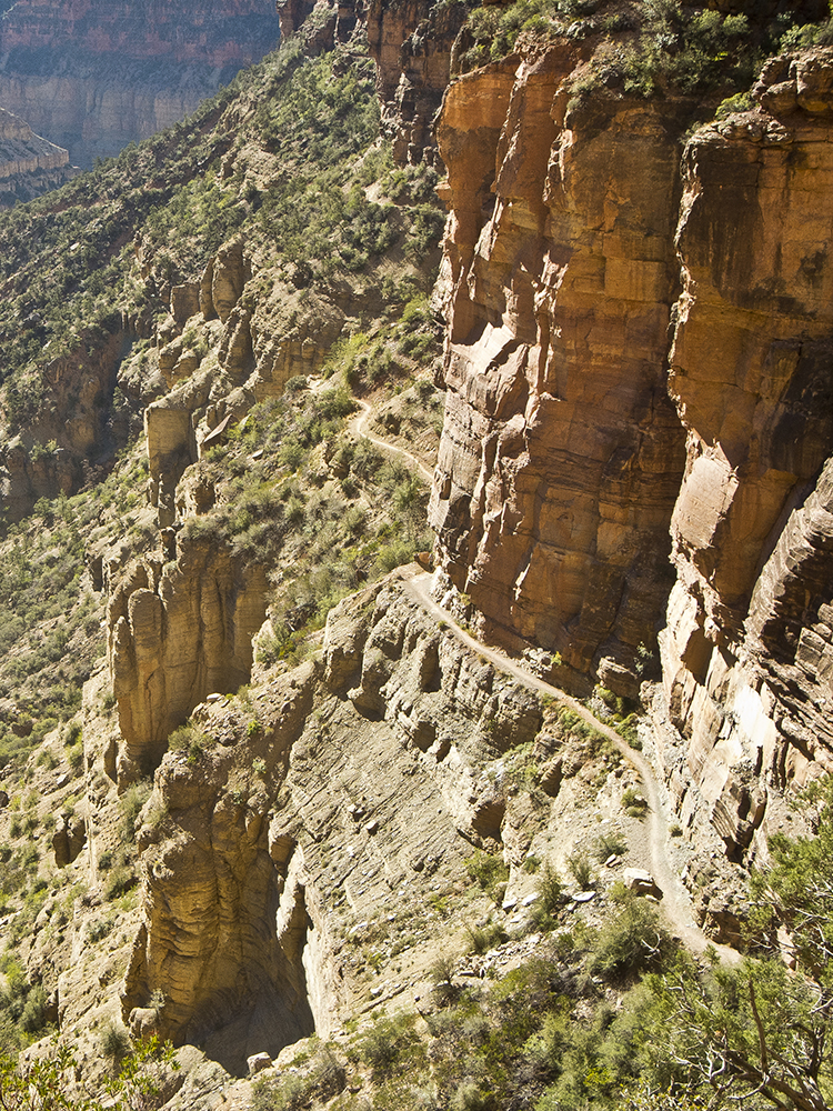
The present trail was built in the 1920s to replace an older route that crossed Bright Angel Creek 94 times. Besides blasting the Supai Tunnel, trail builders also used dynamite to create “half tunnels” in the face of the Redwall Limestone just above Roaring Springs.
Hike the North Kaibab Trail
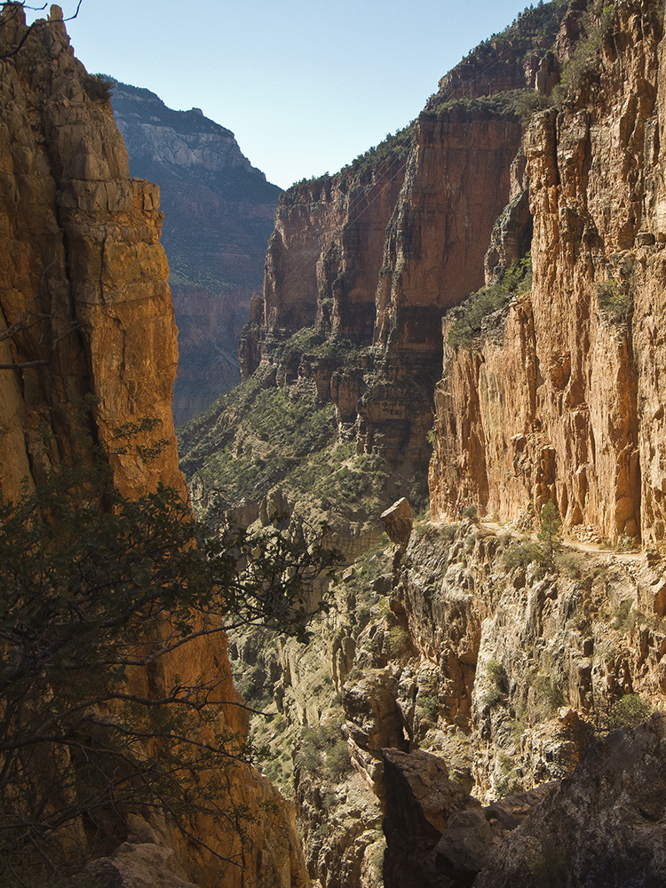
In 0.25 mile you reach the first of many switchbacks. After a short traverse and a couple of switchbacks, you arrive at the Coconino Overlook and get a great view down Roaring Springs Canyon.
To the Supai Tunnel
The trail drops down several more switchbacks, breaks out of the trees into chaparral, and soon arrives at Supai Tunnel, 1.7 miles and 1,600 feet below the trailhead. Just before the tunnel there is a water fountain and pit toilet. Water is usually available between mid-May and mid-October, but do not rely on it; the pipe may be broken or the water turned off if temperatures go to low.
This is a good place to stop and relax before tackling the next section of the trail, which drops precipitously to the bottom of Roaring Springs Canyon. If you choose, this is also a good turnaround place to skip the lower, hotter part of the trail.
Descend through the Supai and Redwall
Immediately after the tunnel, the trail goes through a series of tight switchbacks. This section faces south and can be a cooker on a summer afternoon. Just before the bridge, the trail reaches the bottom of the Supai Formation, deposited 310 million years ago, and the top of the Redwall Limestone, deposited 350 million years ago.
After crossing the bridge, 3.5 miles from the trailhead, the trail climbs a bit and traverses along a Redwall Limestone ledge. Far below, you can see the roofs of the pump house and caretaker residence in the green ribbon of trees along Roaring Springs Creek.
Continue to Roaring Springs
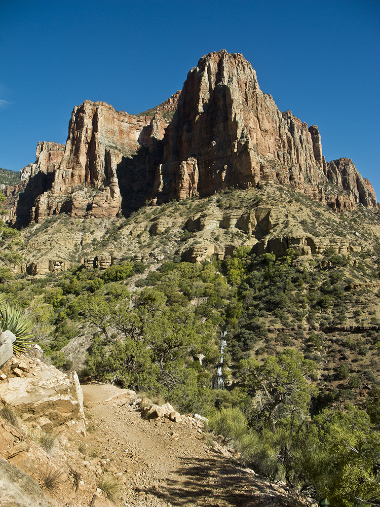
You can see the power lines that provide the electricity for the pump that sends water to the North Rim, and Roaring Springs comes into view. Water from Roaring Springs gets piped down to the Colorado River, across the river, and then up to the South Rim.
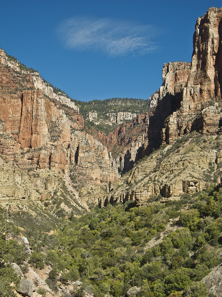
Keep going until you reach a junction at 4 miles. Take the trail to the left, which descends towards Bright Angel Creek but remains above the pump house and caretakers house.
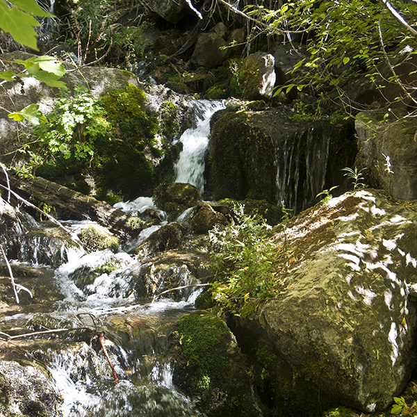
The trail ends in about a quarter mile at a couple of picnic tables near the creek. An indistinct trail through the dense streamside vegetation takes you to one of the small streams tumbling down the hill. After enjoying the shade and refreshing water, return the way you came (back up 3,000 feet).
Directions to the North Kaibab trailhead
Drive two miles north of the Grand Canyon Lodge to the large parking lot for the North Kaibab and Uncle Jim trails. The North Kaibab trailhead is on the right side of the parking lot.