Contour around the south face of the San Francisco Peaks on the Kachina Trail
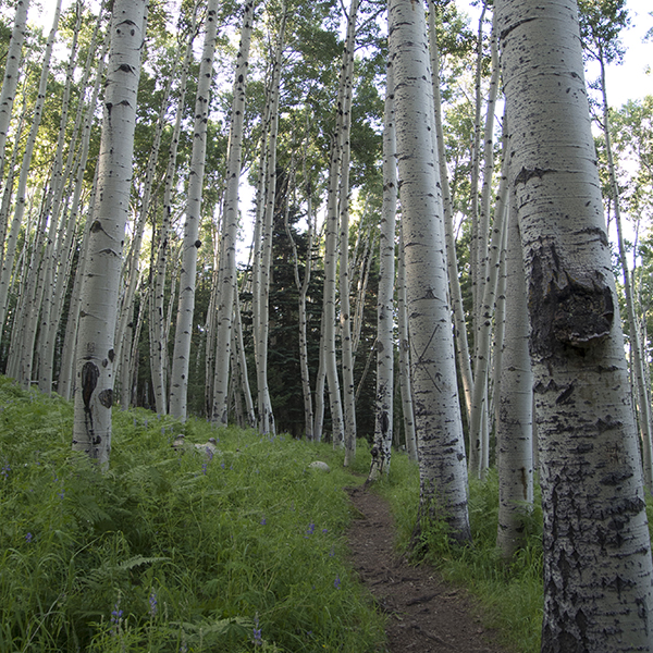
Escape the summer heat on the Kachina Trail and walk through aspen stands and knee-high ferns.
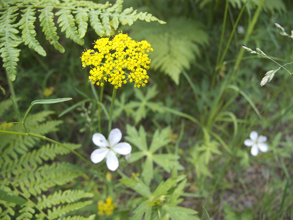
During the summer months, lupine, penstemon, and other wildflowers line the trail, interrupted by patches of waist-high ferns. Come fall, the trail swarms with hikers looking to soak in the fall colors and revel in the confetti storm of gold aspen leaves.
Hike the Kachina Trail
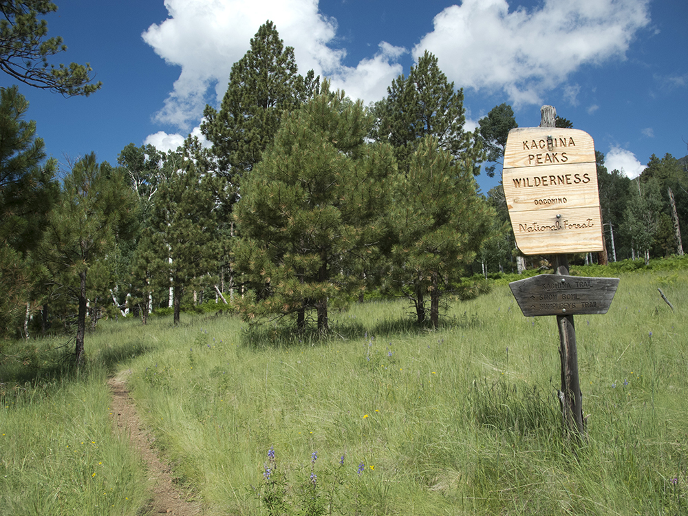
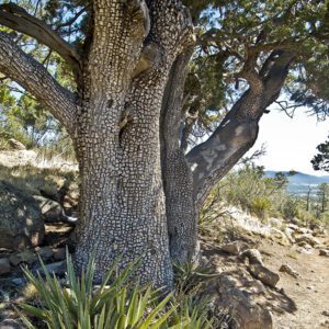
From the Snowbowl Trailhead parking area, you leave the informational boards behind and head south on the Kachina Trail, entering the Kachina Peaks Wilderness Area as you cross underneath a power line. This rolling trail skirts the south face of the Peaks, through aspen groves, stands of limber pine, and open meadows.
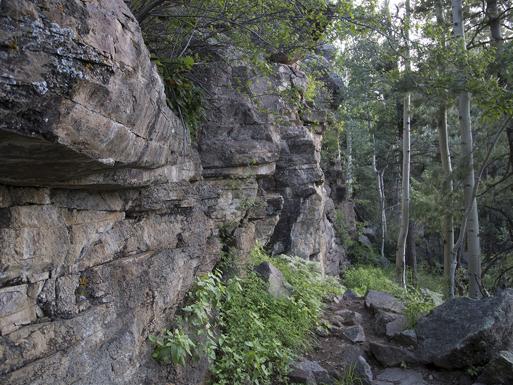
Around 1 mile, you cross a rocky canyon that requires high-stepping over boulders, followed by a steep descent down a rough slope for a quarter mile. The Kachina Trail resumes an undulating course as it crosses small draws and gullies that cut down from Agassiz Peak to the north. Pass a basalt wall and small cave as you work your way back into one such draw.
About 2.5 miles down the trail, you break free of trees and are treated to views that include Flagstaff subdivisions, the Lowell Observatory, and the NAU Skydome. On a clear day, you can see the Mogollon Rim, Oak Creek Canyon, and Bill Williams Mountain towards the southern horizon.
A short climb and then a gradual descent take you eastward across the slopes. Intermittent meadows, lined with aspen trees, grant open views of Fremont, Doyle, and Agassiz peaks.
Toward the end of the Kachina Trail, you start to see ponderosa pines mixed in with Douglas firs. You reach the official end of the Kachina Trail at 5.2 miles, where it T’s off at Freidlein Prairie Road.
If you left a car at the end of Freidlein Prairie Road parking area, turn right onto the old road (now closed to motorized use). Follow it downslope, bending south and then east, for an additional 0.4 mile. Otherwise, retrace your steps back to the Snowbowl parking area.
Directions to the Kachina Trail
The main access to the Kachina Trail is from the Arizona Snowbowl ski area, though many hikers leave a car at the end of Freidlein Prairie Road (FR 522) to hike the entire trail one-way. Directions to both trailheads are detailed below:
To Snowbowl Trailhead: From downtown Flagstaff, drive north on Hwy 180 for about 7.5 miles, and turn right onto Snowbowl Road. Follow the paved winding route up 2,000 feet in elevation over the next 5 miles. Drive through the Snowbowl “welcome” gate, and take the first right into a gravel parking area. Continue to the far end of the parking area; the Kachina Trailhead is just past the logs that block the road.
To Freidlein Prairie Road (FR 522) Trailhead: From downtown Flagstaff, drive north on Hwy 180 for about 7.5 miles. Turn right onto Snowbowl Road, and in one mile you reach Freidlein Prairie Road (FR 522). Turn right and follow this dirt road for about 5 miles. It ends in a parking area, where you can leave a second shuttle vehicle.