This is a popup dialog that overlays the main content of the page. The popup includes a search form to help you find the information you are seeking. Pressing the close button or using the escape key will close the popup.
Catch some magnificent views of the inner gorge on this five-mile section of the Tonto Trail
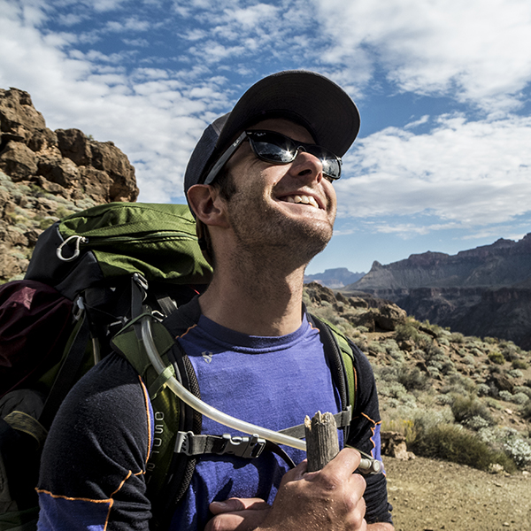
Most trails in the Grand Canyon are rim-to-river routes, plummeting a vertical mile into the depths of geologic time. But the Tonto Trail is one of the few that traverses the canyon lengthwise, snaking in and out of drainages for 95 miles on a mostly level bench called the Tonto Platform.
This five-mile section of the Tonto Trail intersects with Hermit Creek to the east and Boucher Creek to the west. Be sure to bring enough water with you on this dry stretch of trail! A gallon per person per day is recommended.
While you can hike the Tonto in either direction, this trail description follows nature’s downstream course westward.
Leaving from Hermit Creek
From the campsites at Hermit Creek, the trail climbs out of the drainage and starts contouring along the Bright Angel Shale. The greenish color of the slopes comes from glauconite, a mineral from ocean sediments that hints at the marine environment that covered the Grand Canyon region millions of years ago.
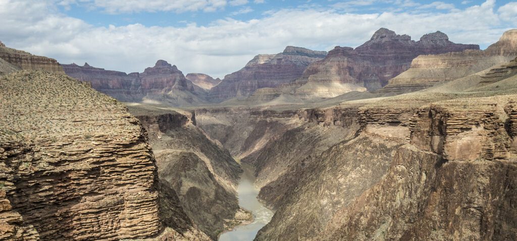
Continue northwest for about a half mile, weaving around small drainages. Around 2 miles, you round the bend into the next tributary. Views of the Colorado River and Hermit Rapid (nearly 1,000 feet below) are superb.
The trail works back into Travertine Canyon, the name hinting at the travertine deposits that you see oozing down the walls. Cross the streambed and continue up the other side.
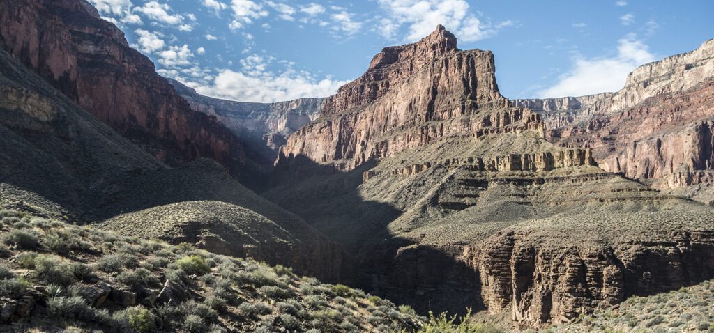
Continuing west, the Tonto Trail undulates as you crest two small saddles along the base of Whites Butte. Around 4.5 miles, the trail crosses a flat terrace and curves south towards the Boucher Creek drainage. You reach the intersection with the Boucher Trail, which is marked with a large cairn (no sign), in a half mile. A right turn down the drainage takes you to the campsites at Boucher Creek, while continuing straight leads back towards the South Rim along the Boucher Trail.
Directions
Since the Tonto Trail starts 3,000 feet below the rim, driving to the start of the trail is not an option. You must get there by foot. See the Boucher and Hermit trail descriptions for access information to this section of the Tonto Trail. If you are planning a backcountry trip, be sure to visit our permit how-to page
General LocationGrand Canyon National Park
Distance5.1 miles (8 km)
DifficultyModerate
Trailhead Elevation3,075 feet (927 m)
Highest/Lowest Elevation3,225/2,925 feet (982/892 m)
FeesPark entrance fee required. Camping below the rim requires backcountry permits and additional fees. Check the websites below for current information.
PetsNot Allowed
Adventure awaits
Sign up to get three hikes in your inbox every month for a year.
Special membership offer
Join the Grand Canyon Trust today to receive your adventure kit:
$25 donation: a Grand Canyon map, The Advocate magazine subscription, bookmark, and sticker
$75 donation: everything above plus four stunning note cards
$100 donation: all the benefits of the $75 level, plus a Grand Canyon Trust hat