The South Fork of Mule Canyon is an easy hike along a flat canyon bottom with cultural history around every corner.
This well-trodden trail into the South Fork of Mule Canyon gives you the opportunity to hone your archaeological eye, with the possibility of seeing many Ancestral Puebloan sites along the way.
Start near the Bureau of Land Management (BLM) trail sign at the bottom of the shallow canyon, and hike generally northwest along the bottom of the wash. Around 1 mile, you get to the first site known as “House of Fire.” You can easily climb up to this cluster of granaries named for the streaked ceiling, which in the morning light, appears to be on flames. Its relative proximity to the highway makes this site one of the most photographed in the area.
Remember: Please look at these sites but do not touch structures or rock art. It is illegal to remove any artifacts or damage sites in any way.
Continue upcanyon, spotting several more archaeological sites along the way. A major pouroff around 3.15 miles forces you to backtrack a few feet to a bypass route on the left (south) side of the canyon. Expect to encounter a few smaller pouroffs past this, but for the most part navigation is easy. As you work your way farther upcanyon, ponderosa pines and shrubs start to fill the canyon.
Return the way you came.
Directions
Drive south out of Blanding, UT, on Hwy 191. Turn right at the junction with Hwy 95, and head west towards Natural Bridges National Monument and Hanksville. Continue on this road for 19.5 miles, turning right onto Texas Flat Road. You pass a Cedar Mesa hiking information and permit kiosk, followed quickly by a parking area. Leave your vehicle here, and walk a short ways to where the road crosses Mule Canyon. Drop into the canyon, on the west side of the road.
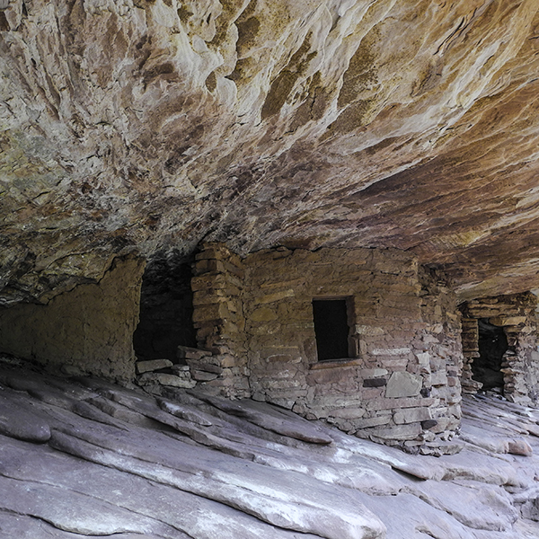
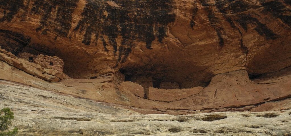
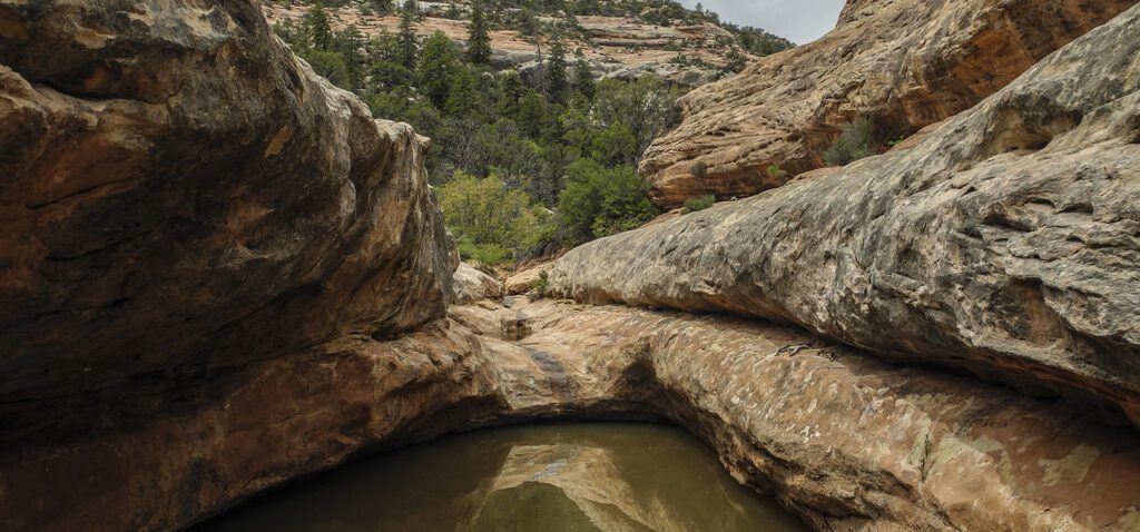
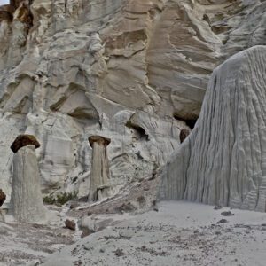
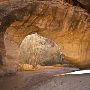
General Location Cedar Mesa, Utah
Closest Towns Blanding, Utah
Distance 8 mi (12.9 km)
Difficulty Moderate
Trailhead Elevation 5,900 ft (1,800 m)
Highest/Lowest Elevation 5,900/6,270 ft (1,800/ 1,911 m)
Maps USGS Quads: Hotel Rock, Utah; South Long Point, Utah
Managed By Bureau of Land Management
Fees Fee required – Check the website below for current information
Pets Allowed
More Info BLM website
Adventure awaits
Sign up to get three hikes in your inbox every month for a year.
Special membership offer
Join the Grand Canyon Trust today to receive your adventure kit:
- $25 donation: a Grand Canyon map, The Advocate magazine subscription, bookmark, and sticker
- $75 donation: everything above plus four stunning note cards
- $100 donation: all the benefits of the $75 level, plus a Grand Canyon Trust hat
Related Hikes by Destination
Distance: 3.4 miles (5.5 km)
Difficulty: Moderate
Type: Out and back
Distance: 9 miles (14.5 km)
Difficulty: Moderate
Type: Out and back
Distance: 12.4 miles (20 km)
Difficulty: Strenuous
Type: Loop hike
Distance: 15.6 miles (25.1 km)
Difficulty: Strenuous
Type: Loop hike