This is a popup dialog that overlays the main content of the page. The popup includes a search form to help you find the information you are seeking. Pressing the close button or using the escape key will close the popup.
An easy walk to the Murphy Point Overlook, with vistas of the the Green River
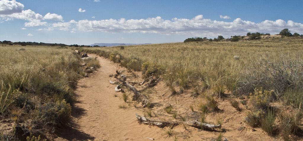
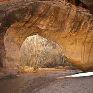
The hike to Murphy Point Overlook crosses, sand, hills, and slickrock.
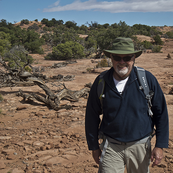
This easy walk begins on the west side of the parking area, and cuts southwest across a field punctuated by juniper and piñon trees. The Henry Mountains rise ahead of you to the west, while distant cliffs near the Green River lure you down the trail.
After a quarter mile, you pass an old corral on your right and continue to a junction around 0.5 mile. Veer right towards Murphy Point Overlook, after which the trail climbs up and over several small hills. When the sandy trail gives way to slickrock, continue following cairns.
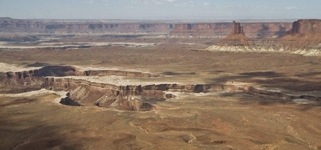
As you walk to the rim, prominent buttes, pinnacles, and cliffs of Wingate Sandstone rise from the Chinle Formation basin below. The White Rim Sandstone lines the Green River corridor like a bathtub ring. The namesake White Rim Road, a popular 100-mile loop, contours along this rock layer. You can trace the road below you and might even see dust plumes from vehicles or mountain bikers.
The trail ends at the overlook at the edge of a finger of sandstone. Panoramic views include the Henry Mountains, Green River, and several named features: Candlestick Tower to the north, Junction Butte to the south, and Cleopatra’s Chair to the west. You can also distinguish the intricate Maze District of Canyonlands National Park to the southwest.
When you’re ready to return, hike back the way you came.
Directions to the trailhead
From the visitor center in downtown Moab, drive 11 miles north on Hwy 191. Turn left (west) onto UT 313 and continue for 14.5 miles until you reach an intersection. Keep straight, merging onto Grand View Point Road and following signs to Canyonlands National Park (UT 313 turns left towards Dead Horse Point State Park). Reach the park visitor center in about 7 miles, and continue south on the road. Keep straight at the next intersection. The trailhead for Murphy Point is signed on the right. Pull into the dirt parking area. Backcountry camping requires a permit. Find out how to navigate the permit system ›
General LocationCanyonlands National Park
Distance3.4 miles (5.5 km)
DifficultyEasy
Trailhead Elevation6,200 ft (1,890 m)
Highest/Lowest Elevation6,200/6,040 ft (1,890/1,840 m)
FeesPark entrance fee required. Check the website below for current information
PetsLeashed pets are allowed on front-country roads and campgrounds.