Avoid trolling for parking spots in Arches National Park and opt for Lower Courthouse Wash, a less traveled trail, instead
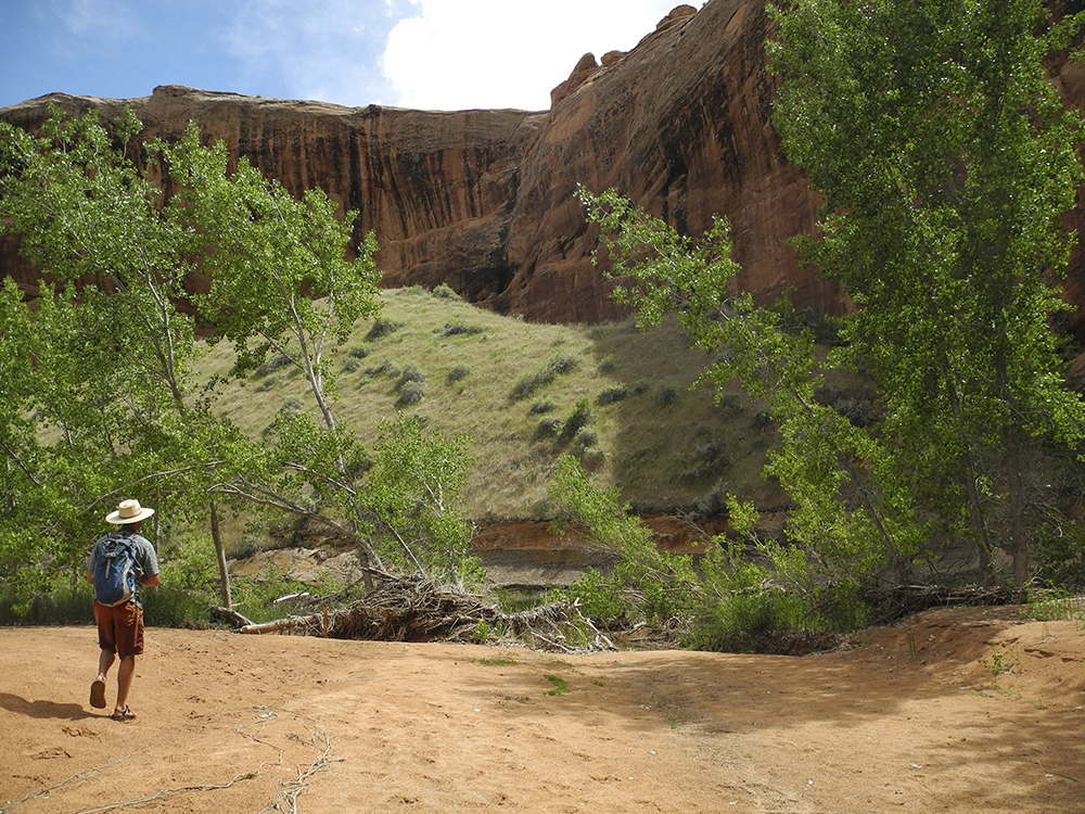
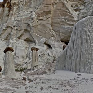
The crowds at Arches National Park can eat you up if you’re not careful. Lower Courthouse Wash offers a relatively little-visited canyon in comparison to the park’s iconic hikes to places like Delicate Arch and Devil’s Garden.
While you won’t actually see any arches on this hike, you might be lucky enough to have the canyon to yourselves.
From the parking area in Arches, cross the Scenic Drive and descend into Courthouse Wash along one of several worn footpaths. Once you reach the creek, navigation is simple — just head 5 miles downstream until you reach Highway 191.
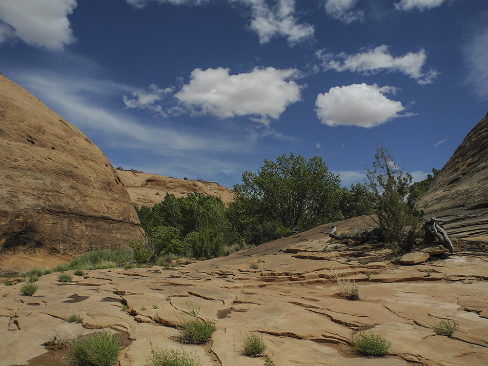
With many creek crossings, you might find it easier to walk in the creek instead of slogging across sandy banks. Four tributaries come in from the left at 1.2, 1.7, 2.2, and 2.7 miles respectively. All are worth a short exploration if you have time.
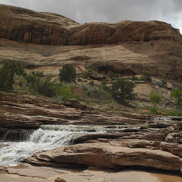
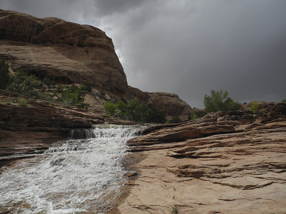
You pass some beautiful cascading pools and broad slickrock ledges in the lower sections of the canyon, perfect for picnicking.
As you near the highway, the canyon widens and you eventually see a park service map of the trail you just hiked and a metal gate. As you exit the canyon your shuttle vehicle will be off to your right.
Rock art detour
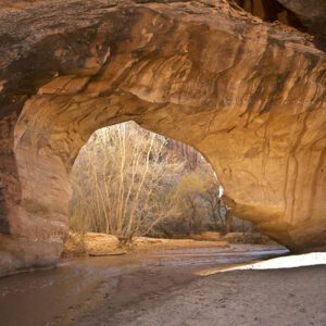
Courthouse Wash Panel is a rock art site near the confluence of Courthouse Wash and the Colorado River. As you’re exiting the canyon, a sign points left toward the panel. A few hundred feet away high on the canyon walls, look closely and you can see Barrier Canyon style figures etched and painted on the cliff face. Vandalism in 1980 led the Park Service to clean and restore the panel, revealing even older petroglyphs beneath some of the rare pictographs.
When you finish admiring the artwork of early Southwest residents, walk to your vehicle and run the shuttle back to the starting point.
Directions to the trailhead
This trail is best suited as a one-way hike, which means you’ll have to set up a shuttle. We recommend dropping a car at the Highway 191 Trailhead, and starting your hike from the pullout in Arches National Park.
Highway 191 Trailhead: From Moab, travel north on Highway 191. After you cross the Colorado River, look for a parking area about a quarter-mile up the road on the right. Park there. You should see some maps of the paved bike trail, along with information panels on rock art.
Arches National Park Trailhead: From the visitor center in Arches National Park, drive about 4.6 miles up the Scenic Drive past the Park Avenue Trailhead, the La Sal Mountains Viewpoint, and Courthouse Towers. When you reach a small bridge over Courthouse Wash, continue about 500 feet to a paved pullout on the north side of the road. Park there.