Learn about plants on the Knife Edge Trail in Mesa Verde National Park
Follow an old abandoned park road around the steep north side of Prater Ridge.
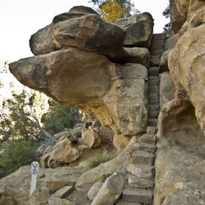
In 1914, the Knife Edge Road was built to provide access to Mesa Verde National Park. Gouged out of the erodible Mancos Shale on a precipitous slope, the road was a constant challenge to maintain. In addition, boulders of Lookout Point Sandstone regularly tumbled down and came to rest on the road. Wet Mancos Shale is incredibly slippery, and old-timers talk about the difficulty of keeping a car on the road when it rained and the trepidation of what could happen if the car slid off the road. In 1957, a tunnel was bored through the ridge between Prater and Morefield canyons to make a more passable entrance road, and the Knife Edge Road was then turned into a hiking trail.
Views and vegetation
This hike is primarily about two things: views and vegetation. The views are obvious, but to get the most out of the hike, pick up the trail guide published by the Mesa Verde Museum Association, which provides information for each of the 32 numbered signposts along the path. The numbered posts mark particular plants, which are then described in the guide.
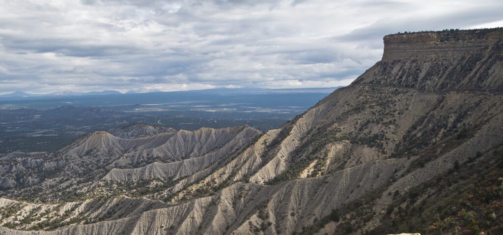
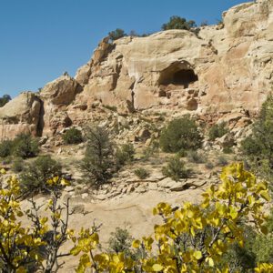
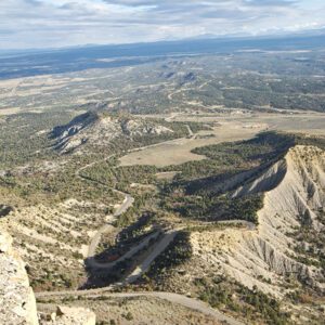
The trail begins by following the edge of a meadow in the bottom of a valley on the east side of Prater Ridge. In a few hundred feet the Prater Trail comes in from the left, and within a few hundred more feet you begin to gain wide open views of the Montezuma Valley and the town of Cortez. To the east, you are treated to views of the La Plata Mountains and Point Lookout. On clear days you can see the La Sal Mountains near Moab, Utah. As you walk along the trail, you will pass some of the large Point Lookout Sandstone boulders that so worried motorists long ago. Point Lookout Sandstone was deposited as shallow barrier beaches and sand bars when a sea retreated from this area many millions of years ago.
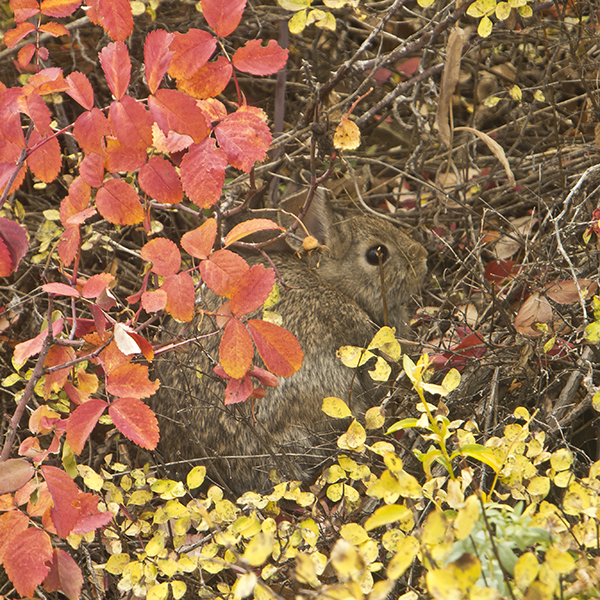
Some of the plants found along the trail include: piñon pines, which produce oily, high protein nuts used by prehistoric people and modern-day folks; black sagebrush, which is used by Navajos as a stomach tonic; wild tarragon (also known as wormwood) brewed as a tea to expel pinworms and round worms; chokecherry, which produces a small berry used to make wine and syrup; and Douglas fir, used by the Ancestral Puebloans for long beams in their dwellings, foot drums, tablets, and other items needing a strong, straight-grained wood.
At one mile you reach a sign saying “Stop! Trail end. Slide area.” Return the way you came.
Directions
Drive on the park entrance road to Morefield Campground, and take the main road to the far end of the campground to the Knife Edge parking lot on the left side of the road.