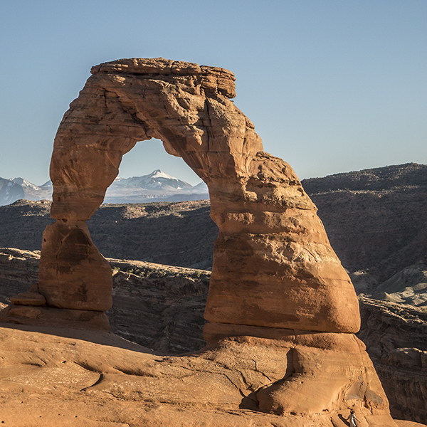
Hike to Delicate Arch, the real-life inspiration for Utah’s license plate!
Delicate Arch is a freestanding arch, now protected in Arches National Park, that has become an icon of Utah’s canyon country.
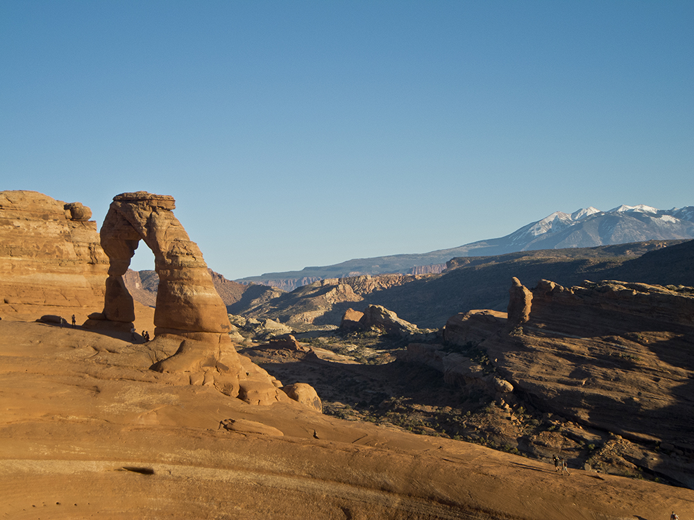
Be prepared to share the views with other tourists, who visit the arch any time of day (particularly in the early morning and late afternoon) and during any kind of weather.
Hike to Delicate Arch
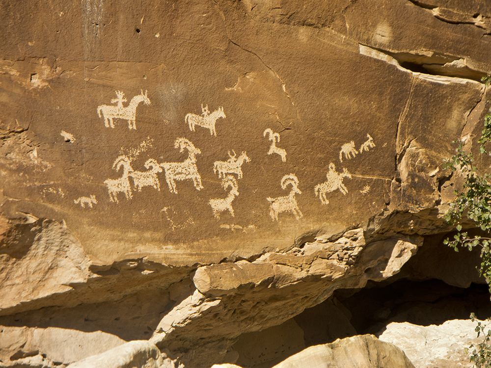
Leaving the trailhead, you will soon cross a bridge. A spur trail leads to a small petroglyph panel. Return to the main trail and switchback up a low bluff. Look southwest and you can see one of the arches called the Windows on the skyline.
Ahead, you can see the trail climb all the way up to Delicate Arch.
Up the slickrock
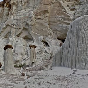
After crossing a small drainage, the trail leaves dirt behind and climbs up a broad expanse of Entrada Sandstone, laid down during the Jurassic Period 175 million years ago.
At the top of the slickrock slab, the trail crosses a series of small drainages with scattered junipers, blackbrush, and yucca. Next comes one of the more fun and interesting spots on the hike; the trail climbs a sidewalk-smooth ledge that provides great views towards the northeast across a vast area of classic slickrock canyon country.
Scramble up to Delicate Arch
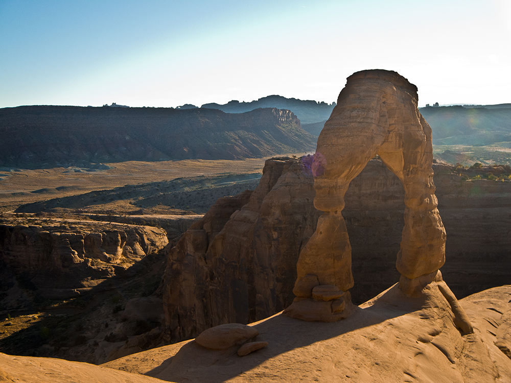
The ledge wraps around the rock face until it reaches a saddle, where you scramble up a few feet. Suddenly, Delicate Arch stands right in front of you with the La Sal Mountains framed behind it.
Spend some time here taking in views of the arch. After soaking up one of the most famous views on the Colorado Plateau, return the way you came.
Directions to Delicate Arch
Follow the main park road from the entrance station for about 12 miles, turn right at the sign for Delicate Arch, continue 1.2 miles to a large parking lot and the trailhead on the left. Continuing on one mile takes you to Lower and Upper Delicate Arch Viewpoint. A 0.5-mile trail, accessible to wheelchairs, goes to the upper viewpoint.