The Amphitheater Loop Trail circles through a broad natural amphitheater off the Colorado River near Moab, Utah
If you’re looking for a quiet Moab hike, head to the Ampitheater Loop Trail.
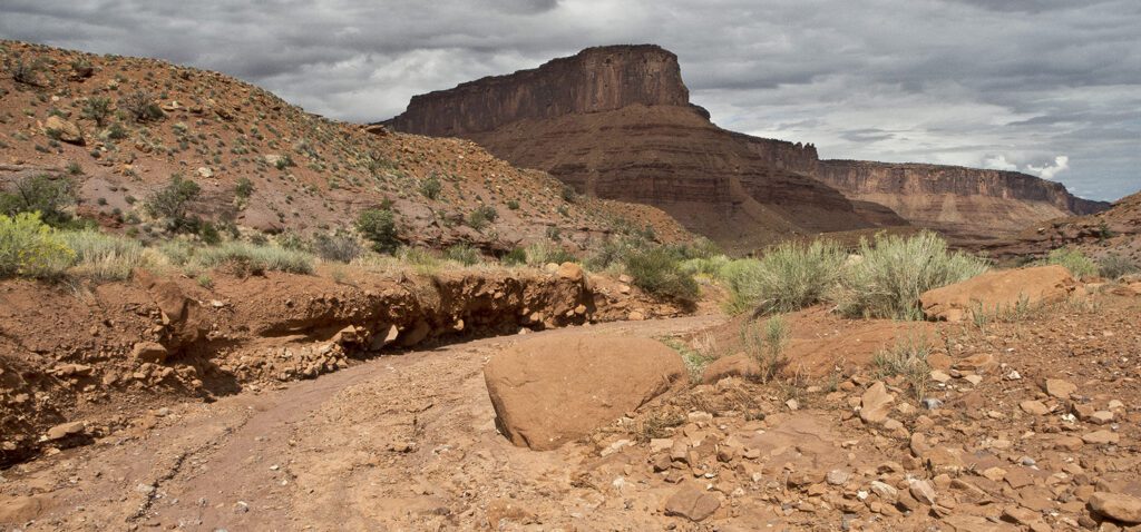
The trail leaves from the east side of the gravel parking lot near the trail register box and information board. Walk through the wooden gate, cross Hwy 128, and continue following the trail on the other side of the road. Small sign posts with arrows mark the route as you head southeast towards the Moenkopi cliffs and the landmark Fisher Towers.
Make the loop
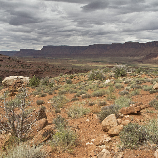
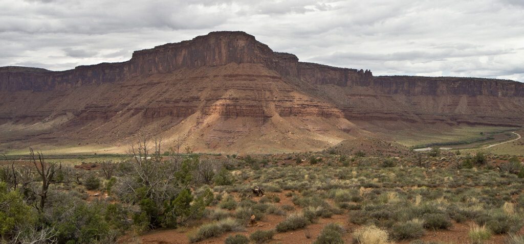
When the trail splits around 0.15 mile, veer right to hike the loop in a counterclockwise direction. As you walk along the sandy trail you start to see rock hoodoos, knobby totems eroded into the Cutler Formation. A short, dead-end spur trail near the outcrop of hoodoos leads to a nice viewpoint of the Colorado River Valley and Richardson Amphitheater.
Richardson Amphitheater, the broad flat valley that extends from Castle Valley to Hittle Bottom, is named after Dr. Sylvester Richardson. The professor and his wife settled in the valley in the 1880s, with other ranchers and settlers following suit.
Cairns mark the route across a wash and over a sandy bench. You drop into the wash again around 0.6 mile, this time staying in the gravel streambed as you head up the drainage. In another half mile, the cairned route veers to the left, and you climb out of the wash and hug the base of a scree slope to your left.
Keep following the cairns up a network of gullies that leads to the head of the drainage. The route ascends the left corner, where you climb up a jumbled mess of boulders and loose gravel. When you reach the sandstone chute, veer left and climb to the top of a ridge.
Back along the ridge
At the top, the trail turns and you begin heading northwest with panoramic views of the Colorado River along the way. You gradually descend along the ridge, undulating a bit until you reach the amphitheater floor around 2.5 miles. Cairns lead you back to the junction, where you repeat the short trail segment back to the trailhead.
Directions
From the visitor center in Moab, Utah, drive north on Hwy 191 for 2.5 miles. At the junction with UT 128 at Lions Park, turn right and follow the Colorado River northeast for 23 miles. The trailhead is at Hittle Bottom Recreation Area and Campground. Turn left into the gravel parking area where you see a BLM sign for Hittle Bottom.