Get a taste of Zion National Park’s remote backcountry on the Canyon Overlook Trail
Hike the Canyon Overlook Trail
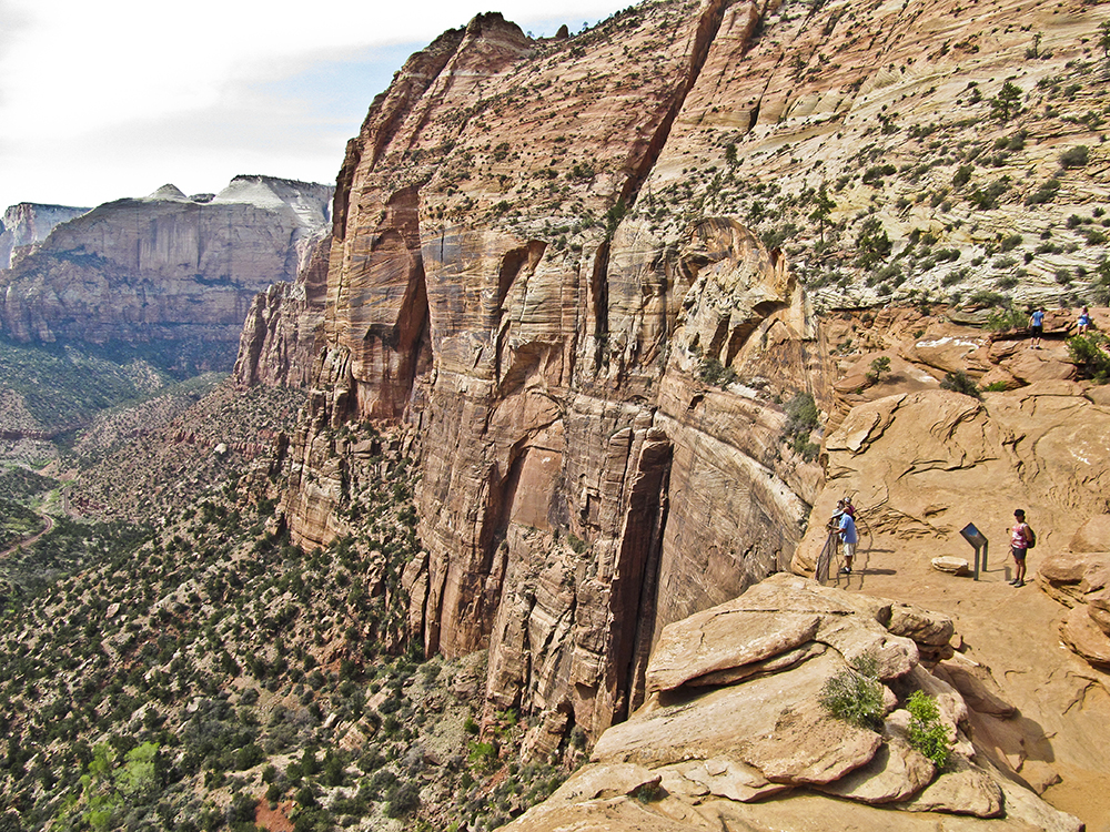
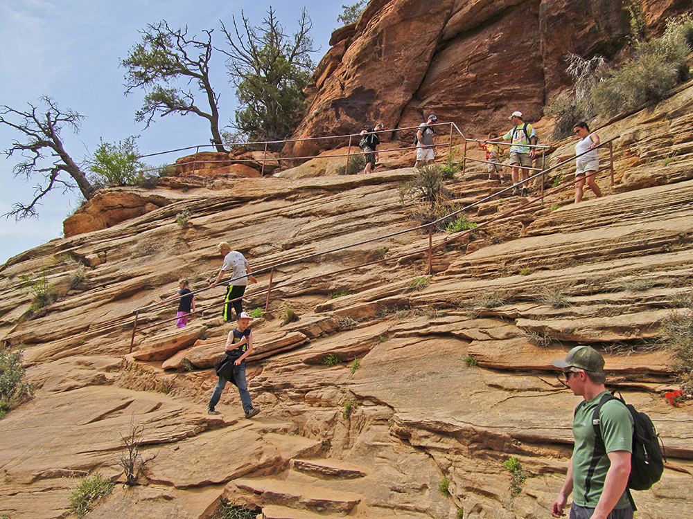
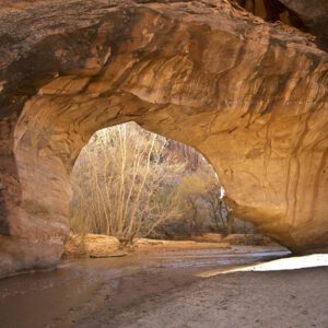
The trail begins by immediately climbing a set of steps carved into the sandstone (with handrails to provide assistance), which set the tone for the rest of the trail. Leaving the steps behind, you traverse a series of ledges high above Pine Creek, which has cut the narrow slot canyon on your left. On a hot day, you can find relief from the heat in a deep alcove immediately after you cross a short steel walkway that is bolted to the face of a cliff.
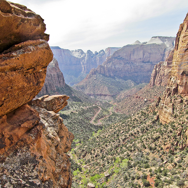
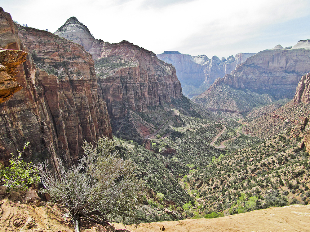
The trail wanders across a rough bench scattered with piñon trees, junipers, and manzanita. After a short climb up sandstone ledges, the world drops away when you reach the overlook, perched on top of a thousand-foot sheer cliff.
In the foreground, the highway snakes its way up the south wall of Pine Canyon before it enters the 1.1-mile-long tunnel blasted out of the cliff on your left. Look for one of the windows into the tunnel in the cliff face. To the west are fabulous views of Zion’s iconic formations — Bridge Mountain, West Temple, the Towers of the Virgin, and the Streaked Wall. East Temple looms above you to the right.
Navajo Sandstone
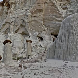
The towering cliffs of Zion (and those where you are standing) are made of Navajo Sandstone, which is comprised of petrified wind-blown sand dunes laid down about during the Jurassic Period, about 175 million years ago. Navajo Sandstone is one of the hallmarks of the Colorado Plateau, but only in Zion and the surrounding area was it deposited in a 2,000-foot-high layer. The slope below the cliffs is called the Kayenta Formation. Deposited by streams rather than wind, the Kayenta dates from the early Jurassic, about 200 million years ago.
After enjoying the views return the way you came. Some Zion routes require backcountry permits. Make sure you know about the permit process before you head out
Directions to the trailhead
From the visitor’s center, drive 5 miles east on UT 9 (Zion-Mt. Carmel Highway) towards the park’s east entrance. There are two parking lots just after the tunnel; you can park in either one. The trailhead, which has a prominent sign, is located near the small entrance building. From the park’s east entrance, drive about 6 miles and park just before you get to the tunnel.