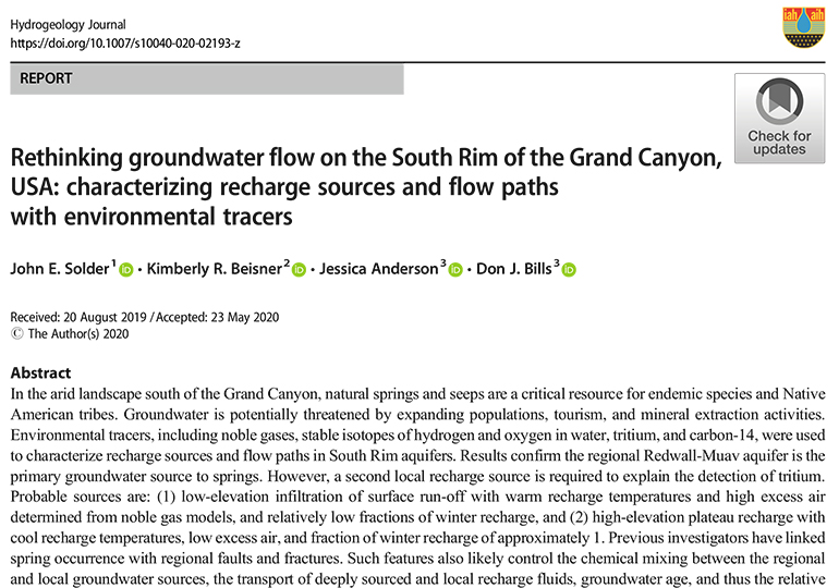
This research uses environmental tracers to characterize the flow paths between groundwater aquifers and the emergence of water at seeps and springs on the south rim of the Grand Canyon. The article identifies the Redwall-Muav aquifer as the primary recharge source of seeps and springs, and also highlights the vulnerability of groundwater to depletion and contamination. Learn more ›

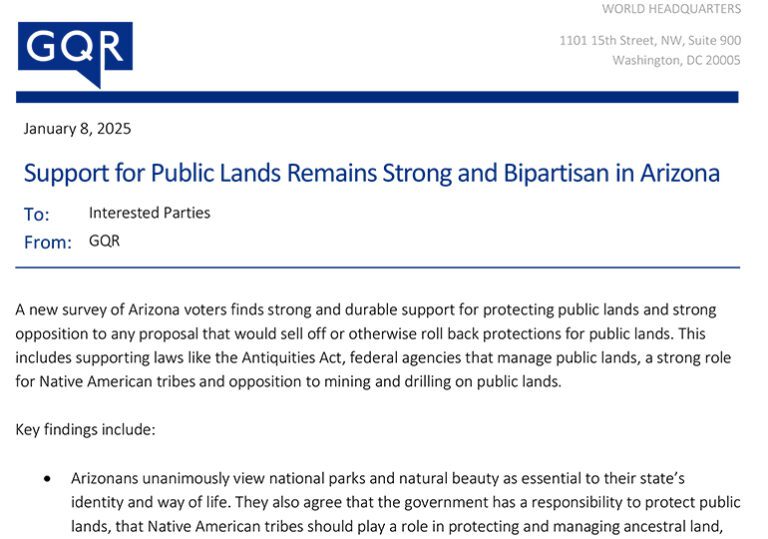
A December 2024 poll of 500 Arizona voters by public opinion research firm GQR found strong public support for Baaj Nwaavjo I’tah Kukveni – Ancestral Footprints of the Grand Canyon National Monument, which protects precious water sources and the ancestral homelands of Native American tribes near Grand Canyon National Park. Download the poll memo › Download […]


