 by Dave Erley, Utah Forest Associate
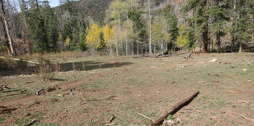
Blind Canyon doesn’t come close to making the ranks of famed Utah landscapes like Zion Canyon or Arches National Park. It’s trampled and chomped, barren and brown—showing all the telltale signs of abuse from cattle overgrazing. It’s not easy to get to, and certainly, in its present condition, is no scenic wonder. However, it is part of the Manti-La Sal National Forest in south-central Utah, and being public land, it belongs to all Americans. And the Grand Canyon Trust is not blind to its degraded condition.
Blind Canyon in Lake Fork allotment
As the Trust’s Utah Forest Program Associate, I monitor all cattle allotments on the Manti-La Sal National Forest in southeastern Utah that are scheduled for permit renewal in the next few years. Lake Fork allotment, which includes Blind Canyon, at the north end of the Wasatch Plateau, is one such allotment. I first visited Blind Canyon in late September 2014. It had been heavily grazed, the stream banks were trampled, and the grasses and shrubs looked like they had just gotten a buzz cut. I filed an allotment report with the Sanpete Ranger District in 2014, hoping it would get the attention of both the Forest Service and the grazing permittee.
I returned a year later, on October 15, 2015, and saw what appeared to be the remnants of season-long grazing. Exotic species replaced native grasses and bare ground dominated the areas around springs. Lake Fork allotment is the only allotment I have come across that does not use calendar dates to dictate the movement of cattle from one pasture to the next. Instead, the system used here is to “move when proper use is met.”
So, what is “proper use”?
On most uplands in the Manti-La Sal National Forest, “proper use” is heavy grazing. Land managers have determined that cattle should be allowed to eat 60 percent of the vegetation in the area, which translates to all but an inch and a half of stubble left behind. Scientific literature indicates that a standard closer to 30 percent would buffer drought years and allow for pasture improvement. But given the condition of the allotment when I visited this past October, I can say with certainty that the grazing in Blind Canyon amounted to more than 60 percent.
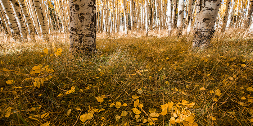
One bright spot
We can use Blind Canyon as a lesson in recognizing the signs of overgrazing, so that when you come across devastation like this when you’re out hiking, biking, or birdwatching, you can report the damage and do your part to defend the land instead of turning a blind eye.


