Dr. Laura Crossey explains what scientists know about groundwater in the Grand Canyon region.
In June 2024, the Annual Review of Earth and Planetary Sciences published “Hydrotectonics of Grand Canyon Groundwater,” a review of recent groundwater studies in the Grand Canyon that points to a more complex and at-risk system than we’d previously envisioned. We sat down with one of the paper’s authors, Dr. Laura Crossey, who has more than 20 years of experience studying groundwater activity in the Grand Canyon region. Her extensive research suggests that some activities near the Grand Canyon, like mining for uranium, are just too risky.
In the paper, you explain that classic geology uses a “sandbox-type” analogy of distinct, physically separated layers to model aquifers and geologic layers but in the case of the Grand Canyon, this analogy is inadequate. What do you mean by that?
ED MOSS
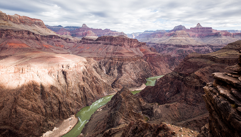
Dr. Laura Crossey: The Grand Canyon is like a layer cake and some of the layers are these beautiful “confined” aquifers. People tend to think the water will stay in that one layer. But all you have to do is look at the mile-deep natural cut through the rock sequence — the Grand Canyon — to realize that those layers have many places where they are cross-cut by faults and fractures. There’s no question the water moves down vertically from the upper Kaibab and Coconino aquifers down into the regional karst aquifer, the Redwall-Muav Aquifer, which hosts a lot of big springs in the Grand Canyon region.
The importance of the faults is that they provide a vertical pathway for water to move to seek a lower level because ultimately, water is searching for sea level. But these faults are an exceptional challenge to model, particularly because there aren’t a lot of wells in the area.
The Redwall-Muav Aquifer is a world-class karst aquifer. The springs that emerge from the Redwall-Muav Aquifer have sustained people through droughts. Karst springs also have significance to cultures all over the world. It’s no surprise that the people who call the Grand Canyon region home — the 11 associated tribes of the Grand Canyon region — have traditional knowledge keepers who certainly recognized different types of springs as being in a pretty important class of cultural features.
So the idea that the water flow from the surface of the Grand Canyon is somehow going to stay confined up in an upper unit is just not realistic when you look at the complex hydrology and the three-dimensional picture. This has bearing on activities like mining. The groundwater hydrology of the Colorado Plateau is so complicated that you can’t just make simple assumptions and hang your hat on the scientific data and approaches that are decades and decades old.
How are tracers used to follow water flow paths on the north and south rims of the Grand Canyon?
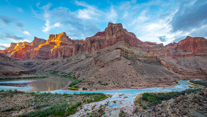
The confluence of the Colorado and Little Colorado Rivers, in the Grand Canyon. BLAKE MCCORD
Dr. Laura Crossey: The work that I’ve been doing for 20-plus years in the Grand Canyon region has focused on what I would refer to as natural tracers. These are geochemical aspects of the water, like solutes or the water molecules themselves, that help us identify aspects of where that water has been on its flow path. Where did it come from? What pathways did it take? What rocks did it encounter? Imagine it like the water is on a trip and the water chemistry is an evolving diary of the trip. We’re trying to read that diary at the other end.
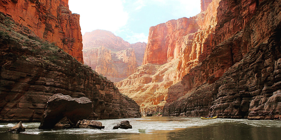
Think of the confluence of the Colorado River and Little Colorado River, where you can watch the blue, calcium carbonate-laden waters of the Little Colorado River mix with the green waters of the Colorado River that hail from the high Rockies. The water downstream of the confluence now carries the markers of both rivers. That’s essentially what I’m looking for in tracer studies but translated to the three-dimensional Tetris structure of the Grand Canyon. Its wonderful layers of rock are cut by faults, some of which might be barriers to flow and others of which might be conduits for flow. And it turns out, those faults are fast paths for water to move. Recent tracer studies that were spearheaded by Grand Canyon National Park and park hydrologists offer dramatic evidence of this.
They literally went onto the North Rim and poured dye into the recharge holes in the Kaibab Aquifer. They were trying to trace the dye to Roaring Springs to understand the sustainability of the aquifer that serves as a source of water for Grand Canyon National Park. But when they poured it in up there, that water went both upstream and downstream. In other words, the dyed water took the “fault expressway” and in just two seasons had traveled 40 kilometers at complete right angles. It also dropped from the Kaibab Aquifer through the Coconino Aquifer and eventually reached the Redwall-Muav Aquifer, emerging at springs deep in the Grand Canyon.
What evidence of human influences do we see in aquifers and springs in the Grand Canyon?
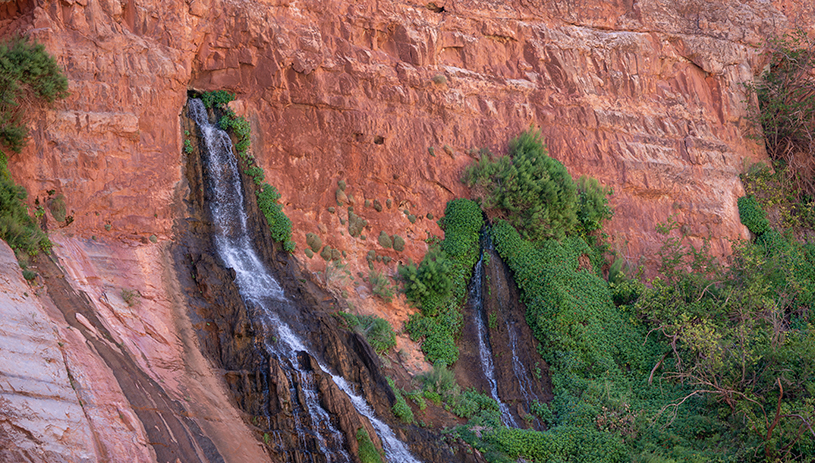
Springs gushing along the Colorado River. M. JENKINS, NATIONAL PARK SERVICE
Dr. Laura Crossey: We compiled data from many other studies and hundreds of data points and the results indicated that when you look at the use of North Rim water on the South Rim at Grand Canyon Village and the surrounding area, it is significant enough over the decades that we essentially have a natural tracer experiment to learn from. Where we’ve taken North Rim water and essentially dumped it on the South Rim, there’s a surprising indicator of recharge based on evidence of North Rim water on the South Rim. North Rim water that we’ve piped across the river, flushed down toilets, put through washing machines, and watered landscaping with is now a tracer to study flow paths.
Based on your research, what do you think needs to be further studied at the Grand Canyon?
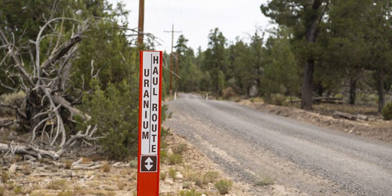
Dr. Laura Crossey: There are geochemical methods that people are beginning to apply to the region that can distinguish between uranium that’s been disturbed or recently mined versus uranium that’s been naturally mineralized. So we’re going to have more studies that’ll help us determine if disturbed uranium is traveling from point A to point B.
What recommendations do you have for land managers when it comes to activities around the Grand Canyon that can impact groundwater, like mining for example?
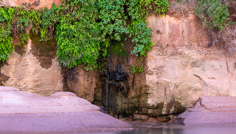
Monkey flowers near a small seep in the Grand Canyon. M. JENKINS, NATIONAL PARK SERVICE
Dr. Laura Crossey: In my opinion, the conclusions from studying natural tracers are strong enough to show that on a less than 10-year timescale, there is a risk of downward migration through faults. Activities at a higher stratigraphic level, namely mining, can mix and mingle in the subsurface through this complex fault network. This risk is evident from not just my own work, but from other people’s studies which are summarized in this annual review paper. There are pathways to all the plants, materials, and cultural resources that are used by people who have called the Grand Canyon home since time immemorial. In this instance, if we have mines that are now in newly designated monuments and in the National Park System, we must simply say, “no, the risk is too great.”
I don’t think that a reasonable response is to say, “let’s wait and see,” because cleaning up an aquifer that’s kilometers deep in the earth is simply not going to happen. It’s a one-way street. What we should do is prevent the possibility that those precious places become contaminated.
Dr. Laura Crossey is a distinguished professor of earth and planetary sciences at the University of New Mexico.

