
Where does the Colorado River start? How deep is it? Is it drying up? Your questions, answered.
The Colorado River flows through the Grand Canyon, bringing lifegiving water to millions, but how much do you actually know about the river? Here are the basics.
Where does the Colorado River start?
The Colorado River is an international waterway that flows through 30 tribal nations, the United States, and Mexico. The river is 1,450 miles long and its headwaters are located high in the Rocky Mountains of Colorado.
How wide is the Colorado River? How deep is it?
At its widest point, in Grand Junction, Colorado, the river stretches 200 feet across and is thought to be its deepest — nearly 90 feet — near Phantom Ranch in the Grand Canyon in Arizona. On its journey, the river descends from high-elevation forests across the Colorado Plateau, winding through deep canyons, and finally flowing through vast deserts before entering the Gulf of California. The river now rarely reaches the sea.
How big is the Colorado River Basin?
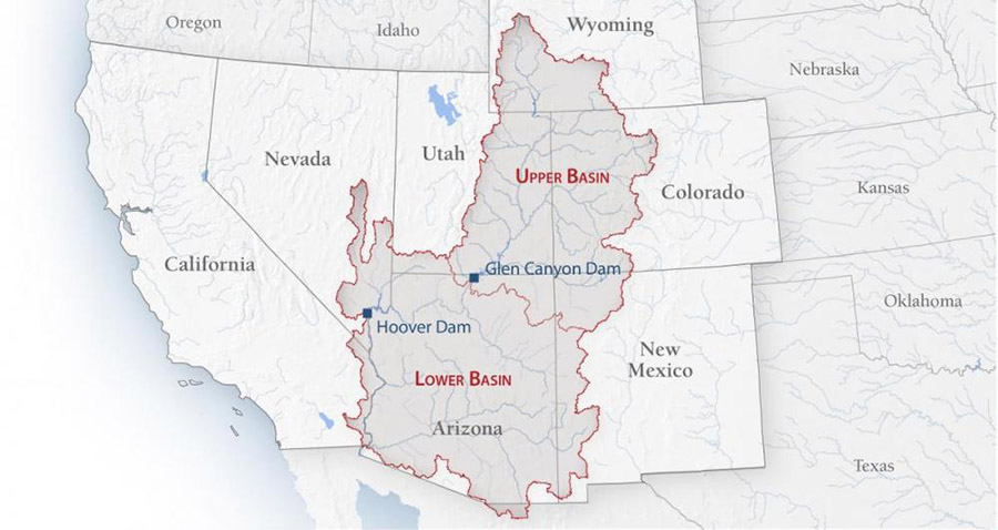
The Colorado River Basin covers 246,000 square miles of land — an area just slightly smaller than Texas — that contributes water to the river. It’s a hydrologic basin defined by natural variations in the landscape. The basin is like a bowl bordered by mountains and other high-elevation features that cause water to run toward and into the Colorado River and then to the ocean.
The basin includes rivers, streams, and washes across the entire state of Arizona and smaller portions of Wyoming, Colorado, Utah, New Mexico, Nevada, and California, as well as portions of two states in Mexico: Baja California Norte and Sonora.
What are the Colorado River’s major tributaries?
The Colorado River receives water from many other rivers along its course. Rivers that flow into the Colorado River are considered its tributaries. The Green River is the largest tributary to the Colorado River. The Green River begins in the Wind River Mountains of Wyoming, flows south into Utah, briefly dips into Colorado and back into Utah before it converges with the Colorado River in Canyonlands National Park.
Other major tributaries include the Gunnison, Dolores, San Juan, Little Colorado, and Gila rivers, which enter the Colorado River from the east. The Dirty Devil and Escalante rivers join the Colorado from the west. And the Kanab, Paria, and Virgin rivers flow into the Colorado from the north.
How many people rely on the Colorado River?
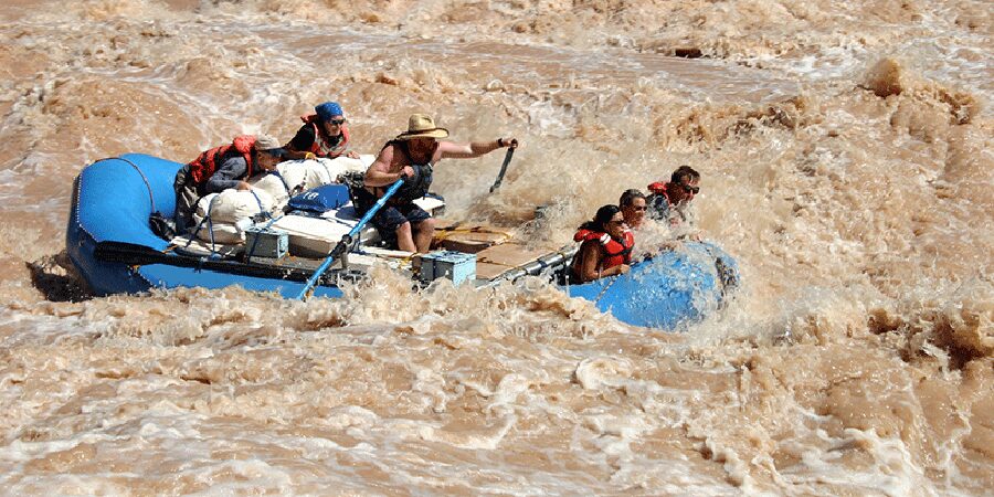
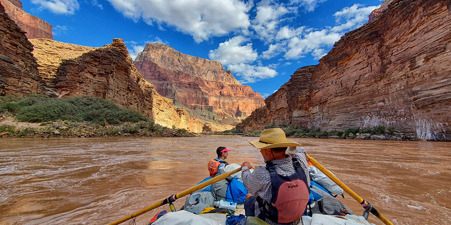
The Colorado River provides water to 40 million people and 5.5 million acres of agriculture, powers dams that supply electricity to the western U.S., and is the heart of the recreation and tourism economies in the region.
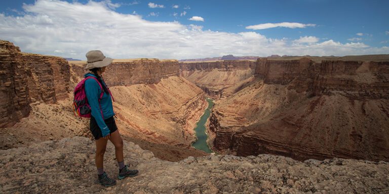
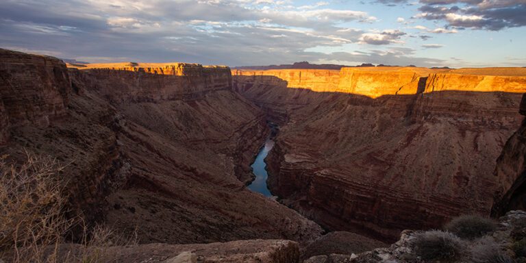
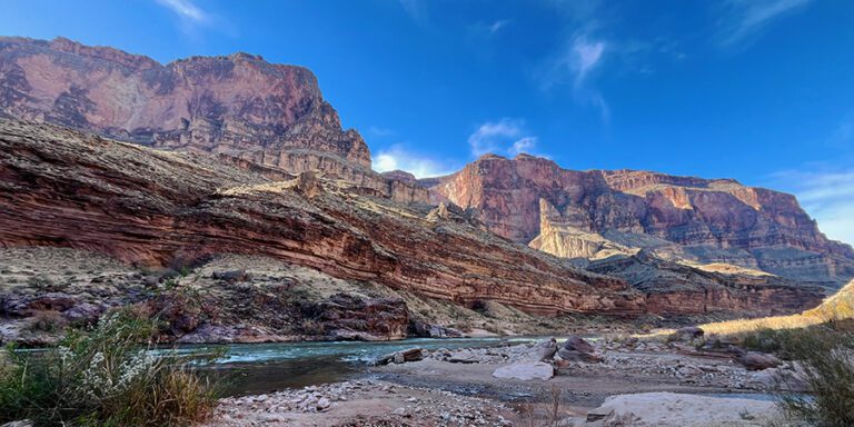
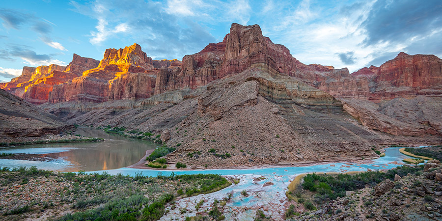
The Colorado River also nourishes vast landscapes from its headwater streams to its delta, including the 277 miles of river within the Grand Canyon.
The environmental and cultural resources along the Colorado River in the Grand Canyon alone are vast. They provide habitat for many species of fish, wildlife, birds, and plants. The river also stirs up and deposits sediment that supports thousands of acres of riverside vegetation and protecting over 200 documented cultural sites from erosion.
What about cultural connections to the Colorado River?
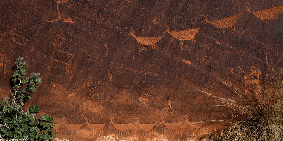
The river, its tributaries, and adjacent lands have deep spiritual and cultural importance to Indigenous peoples throughout the basin and have since time immemorial.
How is Colorado River water regulated?
A series of laws, agreements, and court decisions known as the “Law of the River” govern the division of the waters of the Colorado River and its tributaries among the states, countries, and tribes in the basin. Key among them are:
- The 1908 Winters decision of the U.S. Supreme Court, which laid the groundwork for tribes to access water in the basin, a process that is still ongoing today.
- The 1922 Colorado River Compact where the seven U.S. basin states agreed to divide the basin into two parts (the upper and lower basins) about a mile below Lees Ferry (a boat launch and flow-measuring station at the top of the Grand Canyon) and set a fixed amount of water to be allocated equally between the basins every year.
- The 1944 treaty between the U.S. and Mexico and its subsequent amendments that governs how much water each country gets.
How many dams are there on the Colorado River?
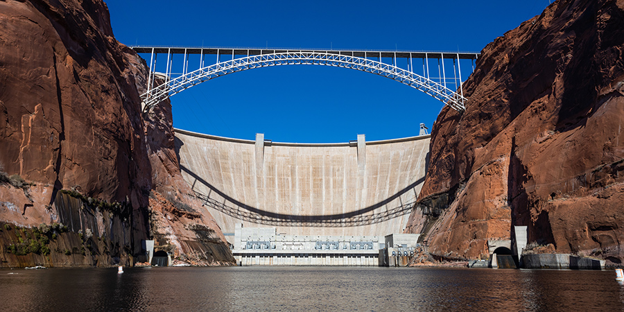
To satisfy growing demands for water throughout the Colorado River Basin, Congress authorized the U.S. Bureau of Reclamation to build a series of dams, reservoirs, and canals to store and move water within and outside of the basin. The Colorado River has 15 dams, including the largest dam in the U.S., Hoover Dam in Arizona, completed in 1935, which created Lake Mead. Glen Canyon Dam and Lake Powell followed 30 years later.
Canal systems like the Central Arizona Project, pipelines, and other infrastructure transport Colorado River water to cities and farmland inside the basin and export water outside the basin to cities like Denver, Salt Lake City, Albuquerque, Los Angeles, and San Diego, and to California’s Imperial Valley.
Is the Colorado River drying up?
The Colorado River is experiencing some of the driest conditions in 1,200 years. With climate change and drought, keeping water in the Colorado River, using water smartly, and making sure communities in the Colorado River Basin have equitable access to water are key to keeping the river, and the people, wildlife, and lands that rely on it healthy.