 by Mary O’Brien, Utah Forests Director
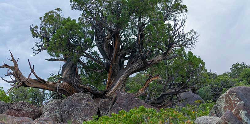
A district ranger for the Fishlake National Forest had a choice in 2015: continue to protect the Price Spring Exclosure, a 47-acre parcel of fenced public land within a larger cattle allotment that showcases astounding recovery of the land in the absence of grazing…or let a billionaire rancher (called a “permittee”) use it as a cattle corral. Guess which happened.
Years of recovery erased
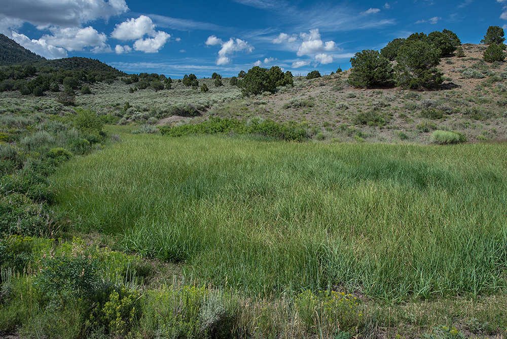
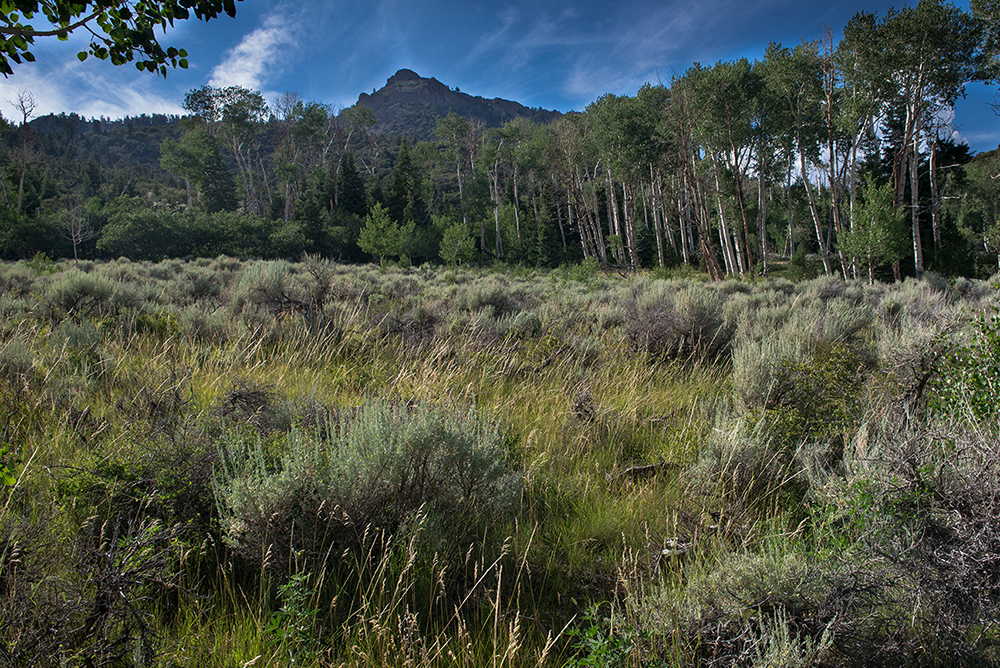
For the past six years, these 47 acres have offered a rare glimpse of what public lands can look like when cattle aren’t chomping down and trampling fragile vegetation as they are elsewhere throughout the surrounding 12,470-acre Ten Mile Allotment and the rest of the Tushar Mountains.
Between 2007 and 2009, the Grand Canyon Trust helped develop joint recommendations alongside Forest Service representatives, grazing permittees, scientists, and other stakeholders as part of the Tushar Allotments Collaboration. The collaboration recommended fencing off the Price Spring Exclosure for the purpose of studying the effects cattle have on the land.
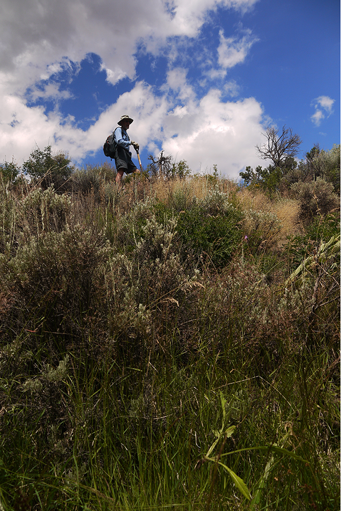
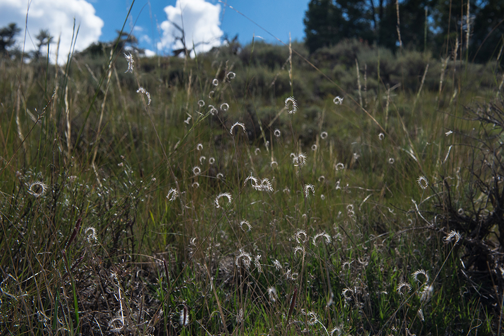
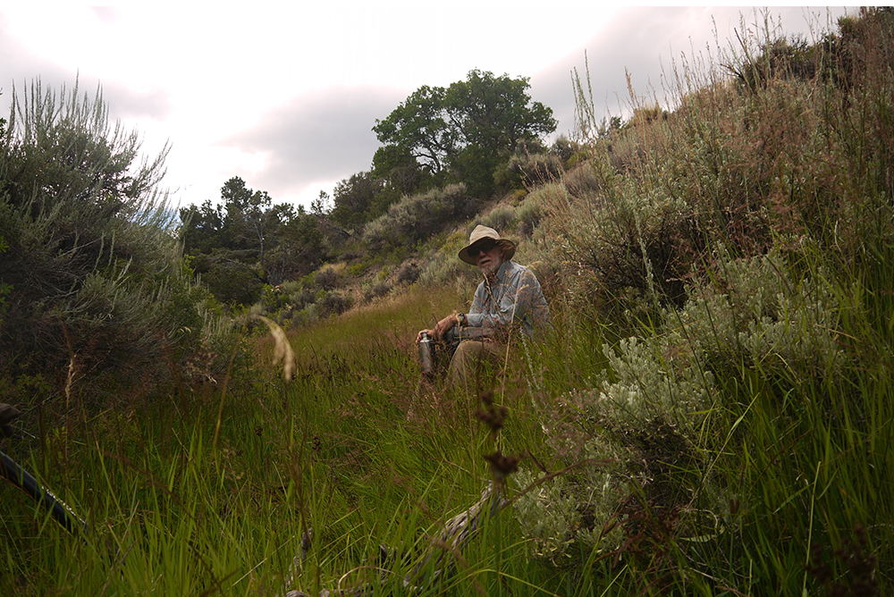
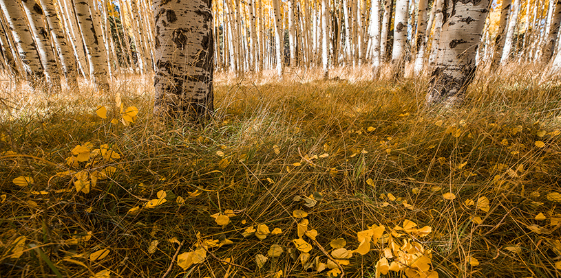
The Trust has been visiting Ten Mile Allotment and the exclosure ever since. In July 2015, when Trust volunteers weeded wooly mullein and bull thistle out of the exclosure, and in August 2015, when the Trust brought an artist to observe plants inside the exclosure, the presence of hip-high native bunchgrasses, wildflowers, and young aspen was a true testament to the restoration that can happen by simply removing cattle from the land. This was in stark contrast to the grazed land surrounding the exclosure.
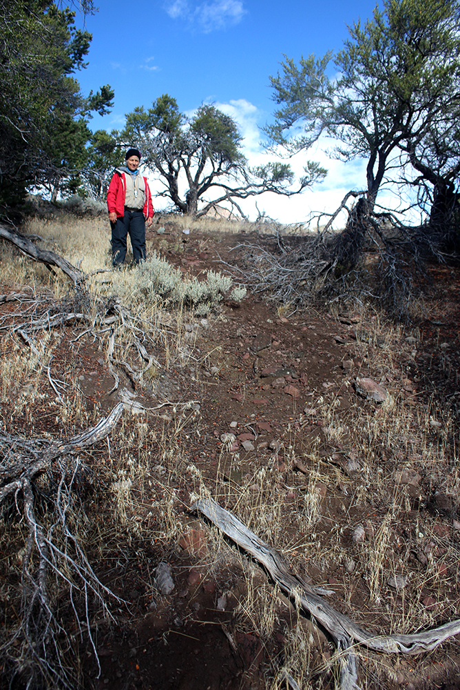
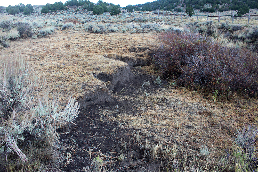
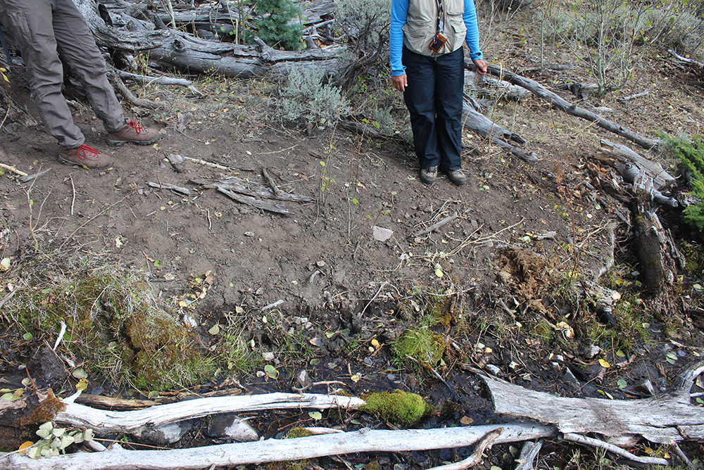
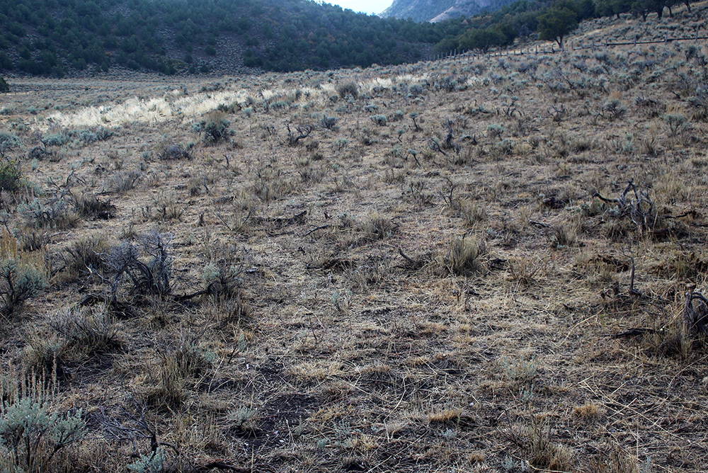
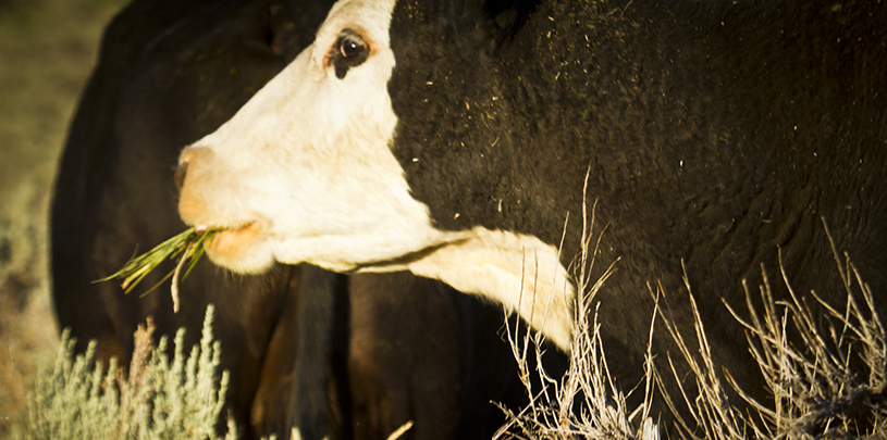
But on October 4, 2015, when we visited once again to continue a six-year study, the once thriving native plants had been massively grazed by cattle. Countless cow flops the size of dinner plates smothered the plant life below, the tall bunchgrasses were bitten down to 1”-2” tall stubble, and plants cattle normally ignore were broken and browsed: sagebrush, rose, horsebrush, rabbitbrush, and even lupine (toxic to cattle). Six years of slow, steady growth of the recovering mountain mahogany had been chewed off. The cattle had trailed down steep banks to get to the springs, eroding them into bare strips of dirt.
As part of the initial collaboration that led to the exclosure, a series of photopoints within the fenced area had been repeatedly documented by the Forest Service, tracing how the sagebrush, aspen, and spring waterways were recovering, and at what rate. Now the recovery has been reversed. The differences between the recovered landscape and the recently decimated one are striking—see for yourself: