Bears Ears National Monument
Rebuilding and healing in Bears Ears National Monument
Bears Ears National Monument is the first of its kind.
Its designation marks the first time Native American tribes successfully advocated for the protection of their ancestral lands as a national monument.
Thanks to the coordination and persistence of the Hopi Tribe, Navajo Nation, Ute Mountain Ute Tribe, Zuni Tribe, and Ute Indian Tribe of the Uintah and Ouray Reservation, Bears Ears National Monument protects thousands of years of cultural history.
About Bears Ears What does Bears Ears National Monument protect?
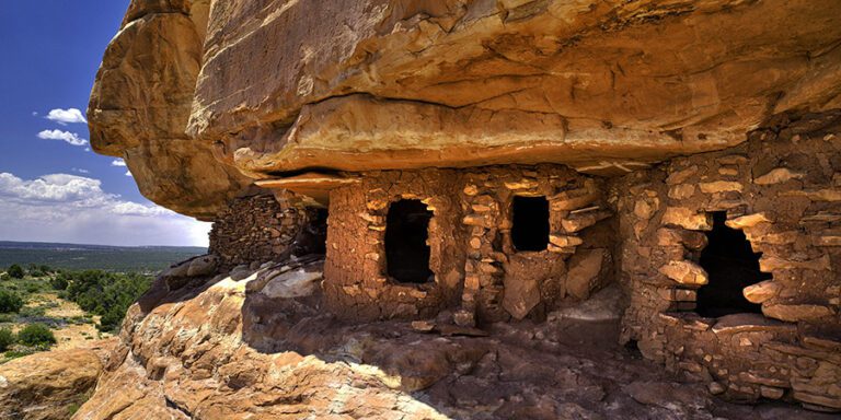
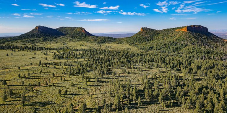
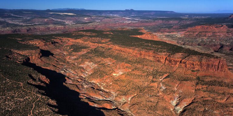
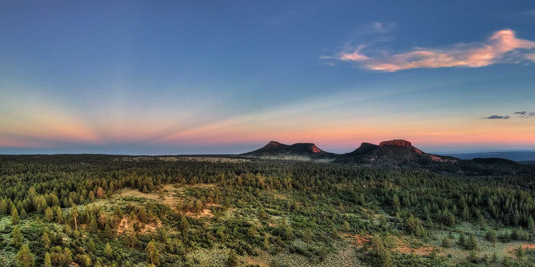
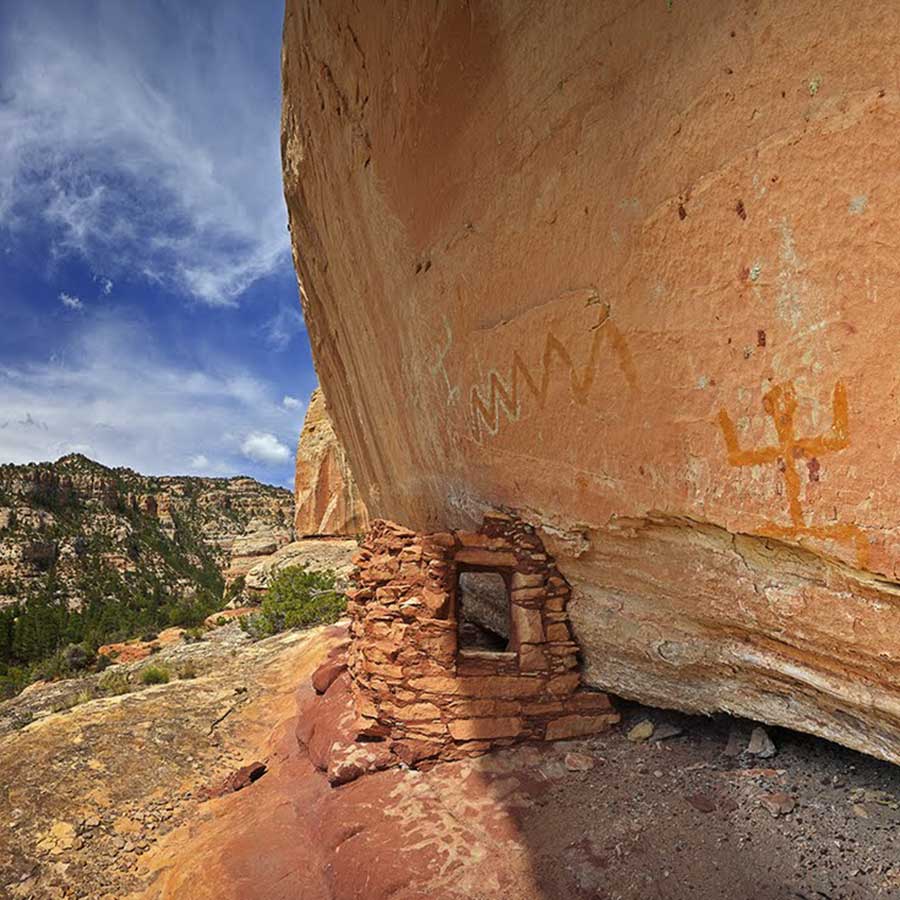
Bears Ears is a living landscape with hundreds of generations of stories etched in stone, sculpted in pottery, and cemented in cliff dwellings.
Its canyons, mountains, and rivers hold thousands of archaeological and cultural sites, including dwellings, granaries, kivas, petroglyphs, and more. These are not artifacts in the eyes of Native people today. They are alive, and holy.
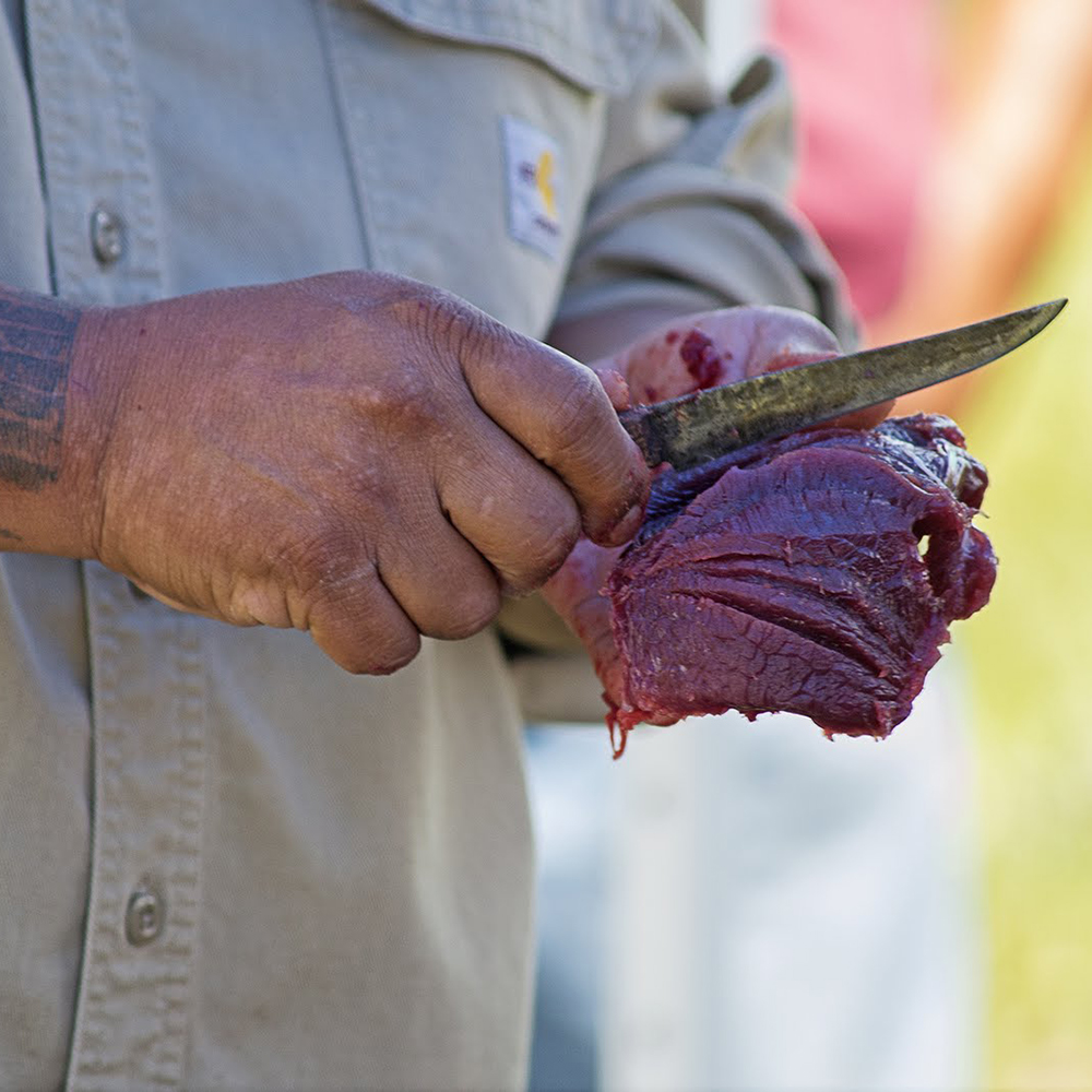
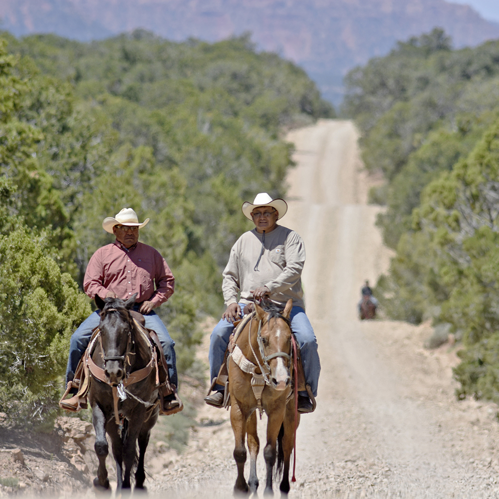
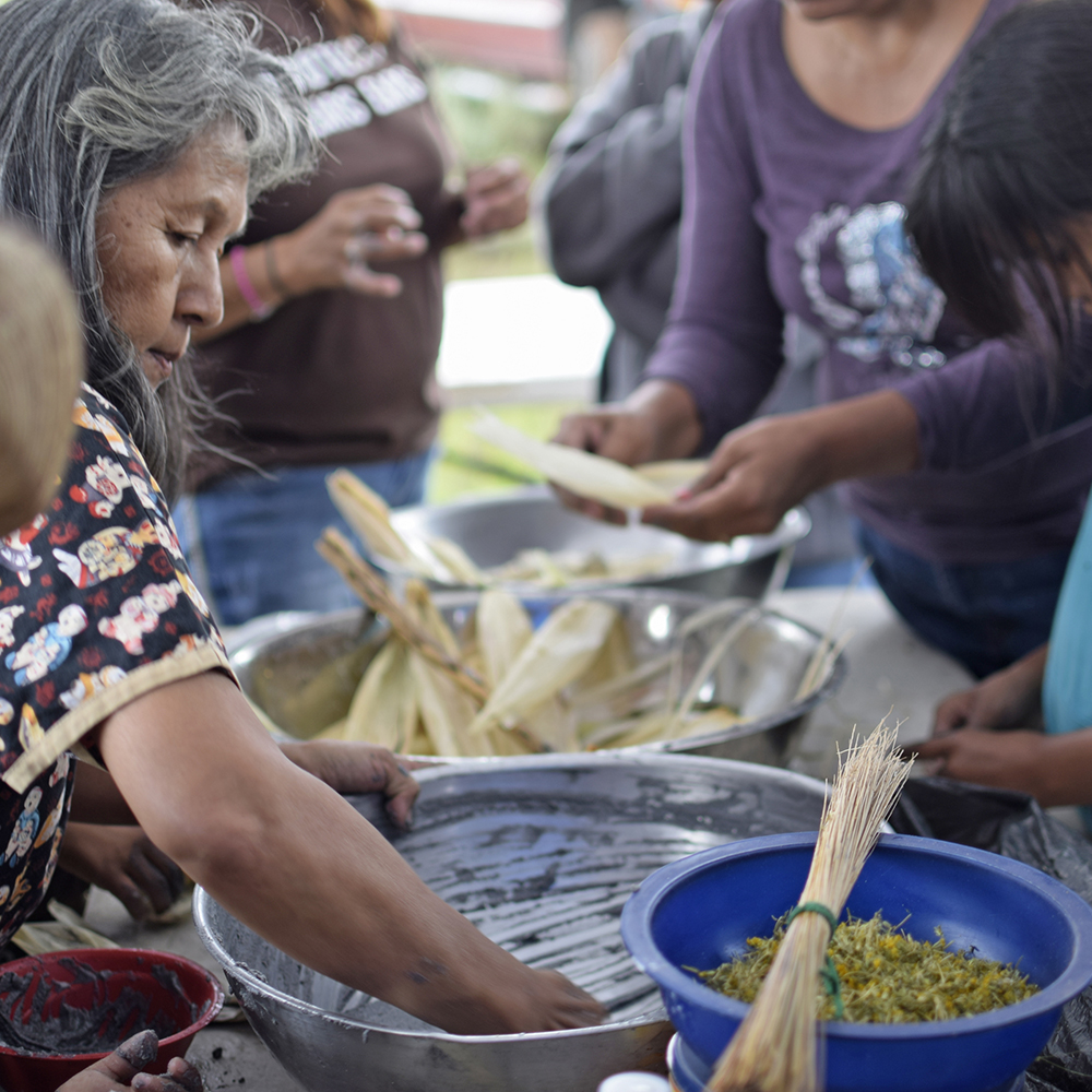
Tribes’ connections to Bears Ears remain unbroken today. Modern Native peoples hunt, collect firewood, gather medicines, and hold ceremonies on their ancestral homelands.
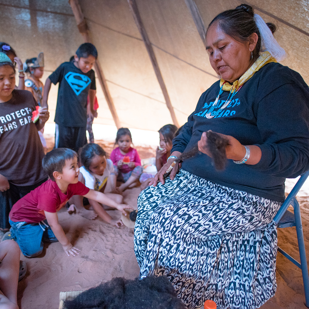
All Americans have a shared responsibility to help protect Bears Ears
Poll after poll shows overwhelming support for Bears Ears National Monument.
Show elected officials, the president, and the federal government that you care about Bears Ears
Our work in Bears Ears National Monument
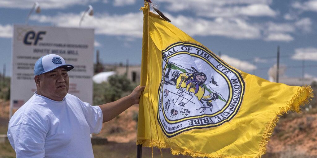
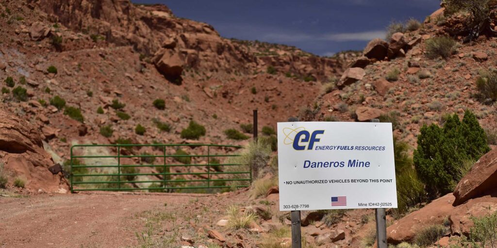
Uranium mining near Bears Ears
The Daneros uranium mine lies three miles from Bears Ears National Monument. We challenged the government’s approval of the mine’s expansion plan, and the judges agreed.
Ask decision-makers to protect Bears Ears from radioactive waste
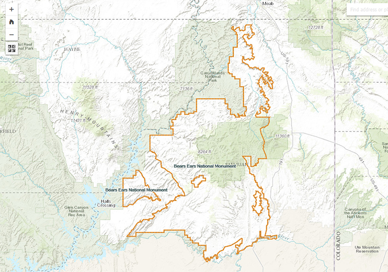
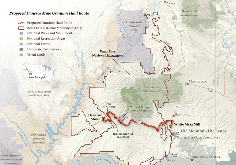
Proposed Daneros Mine Uranium Haul Route Map
January 20, 2017
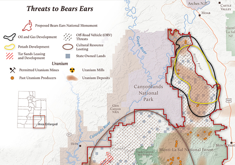
Threats to the Bears Ears Cultural Landscape
August 25, 2015
National monument designations are permanent
Nevertheless, unlawful attempts to shrink the boundaries of national monuments and weaken tribes’ role in the management of their ancestral homelands have continued.
Here’s how this has played out in Bears Ears National Monument.
The designation of Bears Ears National Monument marks the first successful Native-American-driven campaign for a national monument.
The proclamation also lays the foundation for collaborative stewardship, with a tribal commission working alongside federal agencies to manage the new monument.
President Trump ignored overwhelming public support for Bears Ears and slashed the monument by 85%, cutting it into three smaller pieces.
The five tribes of the Bears Ears Inter-Tribal Coalition immediately sued. Conservation groups, outdoor businesses, and many others followed suit, challenging the president's actions.
President Biden restored Bears Ears National Monument to its original glory and added protections for an additional 11,200 acres around Indian Creek. His proclamation for Bears Ears reaffirmed tribes' role in managing the monument alongside federal agencies.
The Bears Ears Commission — made up of five elected officials from the Hopi, Navajo, Ute, Ute Mountain Ute, and Zuni tribes — worked alongside the Bureau of Land Management and U.S. Forest Service to finalize the management plan for Bears Ears National Monument.
This unprecedented collaboration between tribes and federal agencies marks a historic achievement in Indigenous-informed conservation and collaborative management.
Bears Ears blog
