This is a popup dialog that overlays the main content of the page. The popup includes a search form to help you find the information you are seeking. Pressing the close button or using the escape key will close the popup.
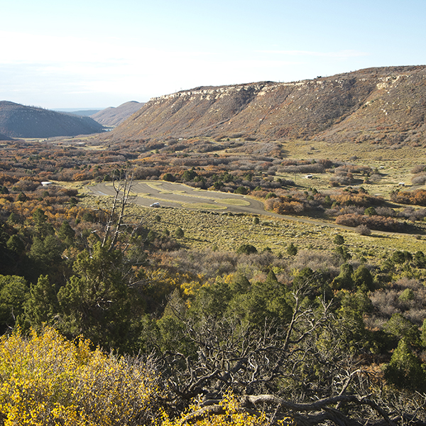
Camp just outside Mesa Verde National Park at the Morefield Campground
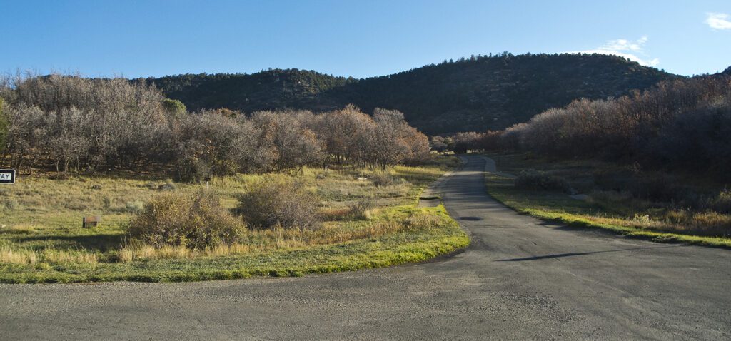
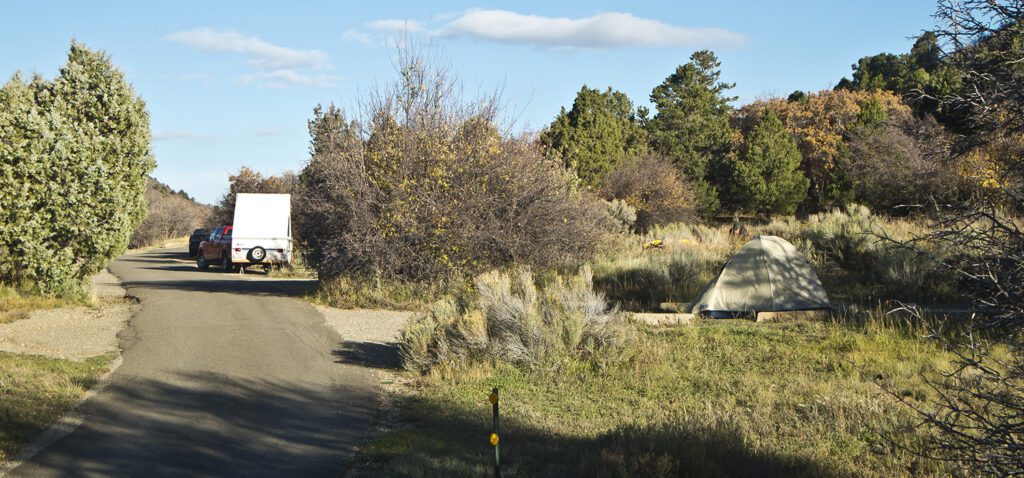
Morefield Campground is located in a small valley with scattered groves of Gambel oaks, juniper trees, rabbitbrush, sage, and native grasses. Campsites are tucked into openings between the Gambel oak groves or in wide-open grassy areas. The campground is 800 feet higher in elevation than the park entrance and visitor/research center, so be prepared for cooler temperatures. The campground village has a gas station, laundromat, showers, grocery store, gift shop, and café. Primitive camping with two open comfort stations may be available in the shoulder season (check website for current dates).
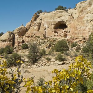
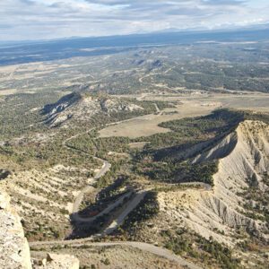
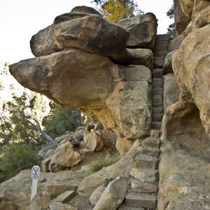
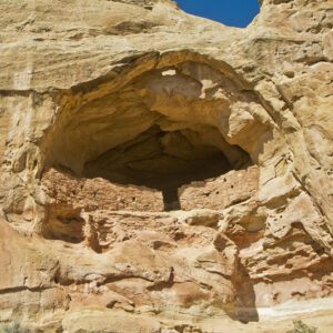
The Panorama Point, Knife Edge, and Prater Ridge hiking trails can all be accessed from the campground. It is 16 miles from the campground to the area where Spruce Tree House, Cliff Palace, the Chapin Mesa Archaeological Museum and other cliff dwellings are located. The road is narrow with many twists and turns, so take a lunch with you and be sure to allow plenty of time for driving, not to mention the time to fully experience one of the most interesting and spectacular archaeological sites in the world.
Amenities
Drinking Water
Flush Toilets
Bathroom Sinks
Showers
Laundry
RV Hookups
Picnic Tables
Trash Collection
Bathrooms
General LocationMesa Verde National Park
Number of Sites267
SeasonApril – October (check for updates)
FeesFee required – Check the website below for current information