Leave the Grand Canyon National Park crowds behind on the Boucher Trail.
The Boucher Trail lives up to its reputation as one the, most difficult trails on the south rim of the Grand Canyon.
The combination of long traverses, steep descents, and a bit of exposure make this classic canyon hike one for the books.
Note: Backpacking in the Grand Canyon requires a backcountry permit. Need help figuring out how to get one? We can help
Most people hiking the Boucher Trail will be doing it as an out-and-back, or combining it with the Tonto and Hermit trails for a longer, multiday loop. For day hikers, good turnaround points are Dripping Spring (7 miles round trip) or Yuma Point (10.2 miles round trip).
Hike the Boucher Trail
The Boucher (pronounced boo-shay) and Hermit trails are one and the same for the first two miles. From the trailhead, follow the gravel path south, beginning a steep and steady descent through the upper rock layers–Kaibab Limestone, Toroweap Formation, and Coconino Sandstone. Much of the trail is rocky and eroded, but a few sections of hand-fitted rock slabs hint at its former life as the state of the art rim-to-river route in the early 1900s.
Switchbacks intensify as you drop down to the crimson-colored Hermit Shale. When you reach a junction with the Waldron Trail, stay straight (west) towards Dripping Spring, continuing to drop into the head of the Hermit drainage. Around 1.75 miles, you reach the Hermit Trail junction — again, follow the signs for Dripping Spring and veer left.
Pass Dripping Spring
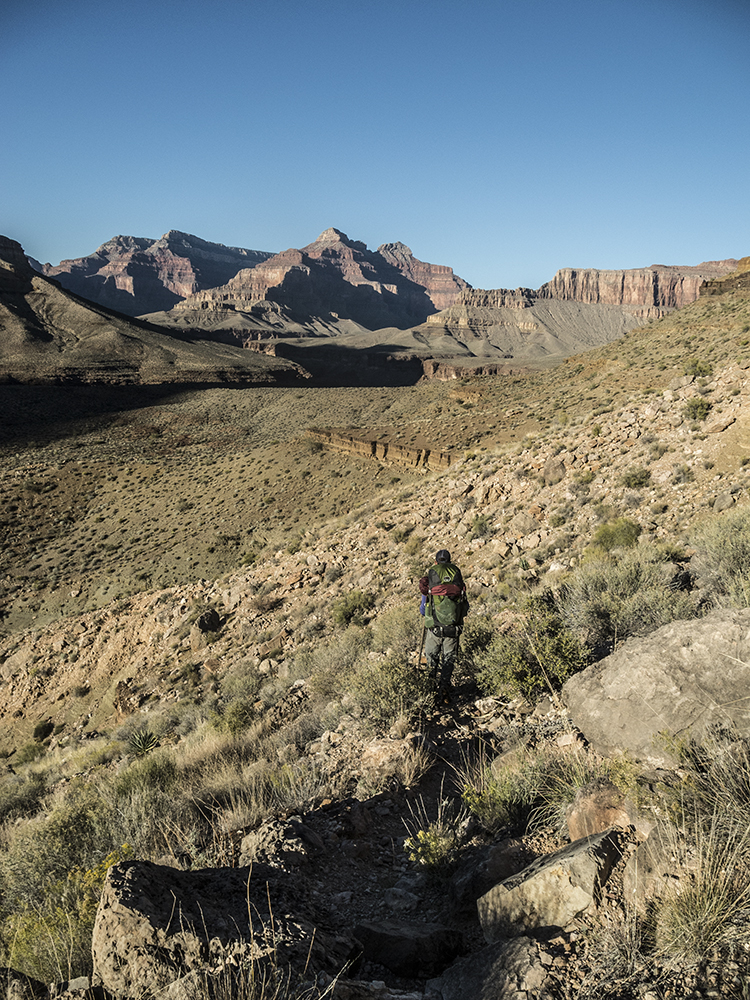
The trail undulates as it bends around the head of the Hermit drainage. At its far west finger, you intersect with the Boucher Trail proper. A short walk takes you upstream to Dripping Spring (day-hike option), but the Boucher Trail begins a long traverse across the opposite side of the drainage, contouring along the upper rim of the blocky Supai Formation.
Continue north, rounding Yuma Point (longer day-hike option), and work your way back into the next drainage to the west, which is Travertine Canyon. Your easy, flat walk ends abruptly when the trail drops down an unlikely route towards the bed of the canyon. A rough break in the cliffs requires a short downclimb, though hand and footholds are aplenty.
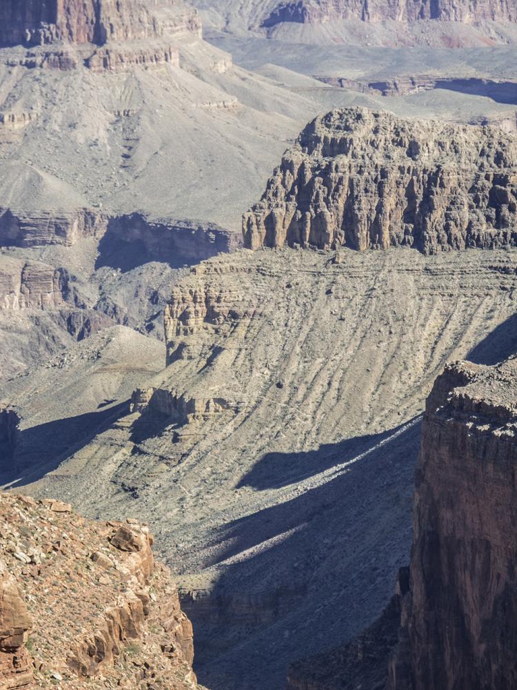
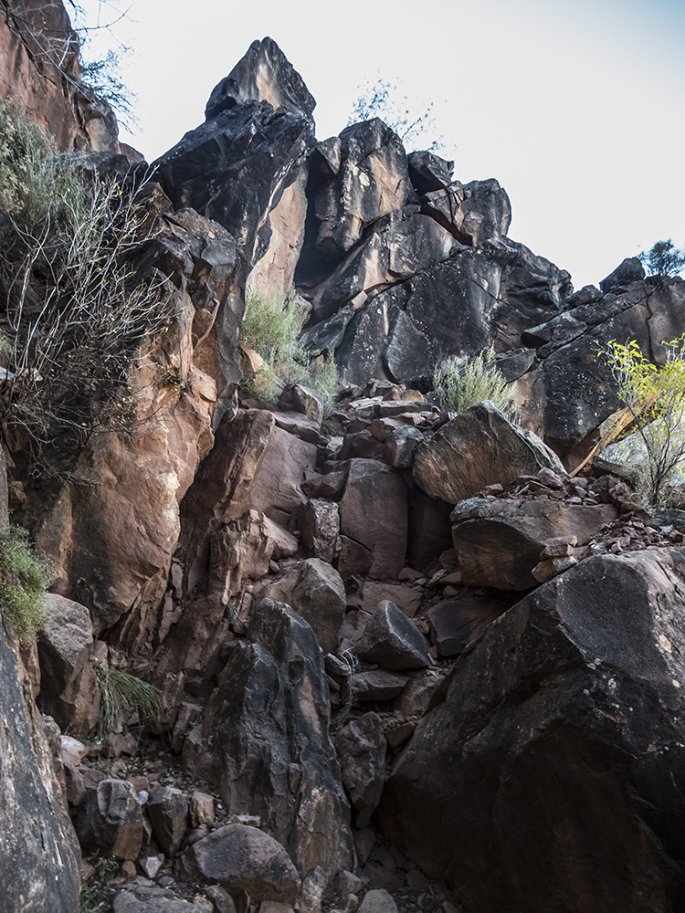
Grand Canyon National Park touts the Boucher as being the most difficult and demanding of the South Rim trails, and this section through the Supai Formation might prove the point. This section is incredibly steep and loose — take your time and watch your step! If the trail is covered in snow, route-finding and map-reading skills are essential here.
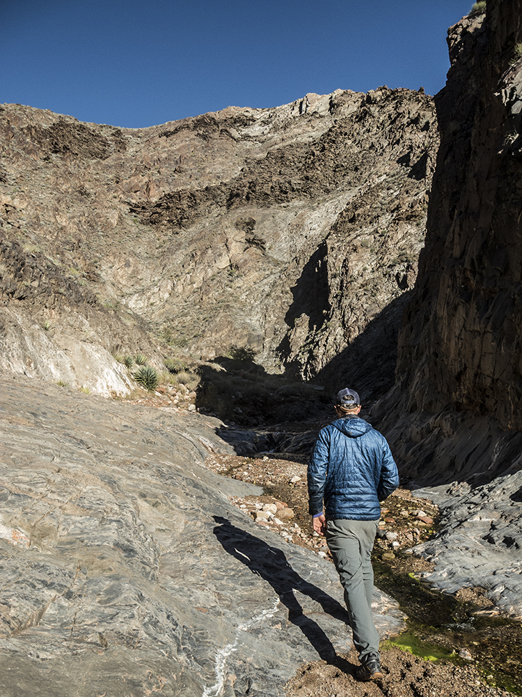
After crossing the drainage, the trail levels out again as you contour along the top of the Redwall Limestone on the west side of the drainage. Cross a saddle that’s speckled with blackbrush shrubs, and get ready to plunge dramatically through the Redwall cliffs.
Another knee-busting descent
Brutal switchbacks bookend a long traverse down the east side of a gully. As you drop off the saddle, pick your way carefully down the route etched into the limestone. The trail continues to descend along a relentless grade on the east wall above the bottom of the drainage. After a mile of weaving your way down the knee-busting section, you intersect the Tonto Trail. Keep your eyes peeled for a big cairn marking this junction, as there are no signs. Veer left down another set of switchbacks towards Boucher Creek. You both see and hear signs of water, and a lush ribbon of green lines the canyon floor.
Just as you drop down to the creek (9.3 miles), you’ll find several nice campsites with easy access to the water. While Boucher Creek flows reliably, be sure to treat all water before drinking.
Note: In the fall of 2015, mice were horrendous at the campsites, scampering on top of tents throughout the night. Please do your part to help keep these and other rodents at bay by using animal-proof food storage containers.
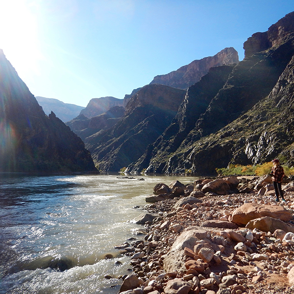
Boucher Creek to Boucher Rapid
From the campsites at Boucher Creek, it’s another 1.5 miles to the Colorado River. Rock hop your way downcanyon and enjoy the views of Boucher Rapid.
Backpacking Options
After all the effort to get down to the bottom of the Grand Canyon, here are some ideas to get yourself back to the rim.
- Out and back: Add an extra night to your trip. Return via the Boucher Trail (3 days, 21.6 miles).
- Boucher — Tonto — Hermit Loop: From Boucher Creek, take the Tonto Trail east for 5 miles, then hike up to the rim via the Hermit Trail (3 days, 22.5—26.5 miles)
Directions to the Boucher Trail
Hermits Rest, the last viewpoint on the west end of Hermit Road, serves as the trailhead for both the Boucher and Hermit trails. Hermit Road is open only to free shuttle busses from March 1 to November 30. You may park your vehicle at the Backcountry Office in the village and take the frequent shuttle bus (Red Route) to Hermits Rest ( the last stop at the end of Hermit Road).
Or, with your backcountry permit for either of these trails during those months, you may drive your private vehicle to the trailhead. Just punch the numerical code (printed on your permit) into the keypad, pass through the gate, and follow the road 7 miles west to Hermits Rest. Once there, follow a signed dirt road for a quarter mile to the parking area. Check the park website for current information about driving your car or taking the shuttle.