This is a popup dialog that overlays the main content of the page. The popup includes a search form to help you find the information you are seeking. Pressing the close button or using the escape key will close the popup.
Hike the Fremont Gorge Overlook Trail in Capitol Reef National Park
A flat stroll sandwiched between two steep climbs makes the Fremont Gorge Overlook Trail as challenging as it is rewarding.
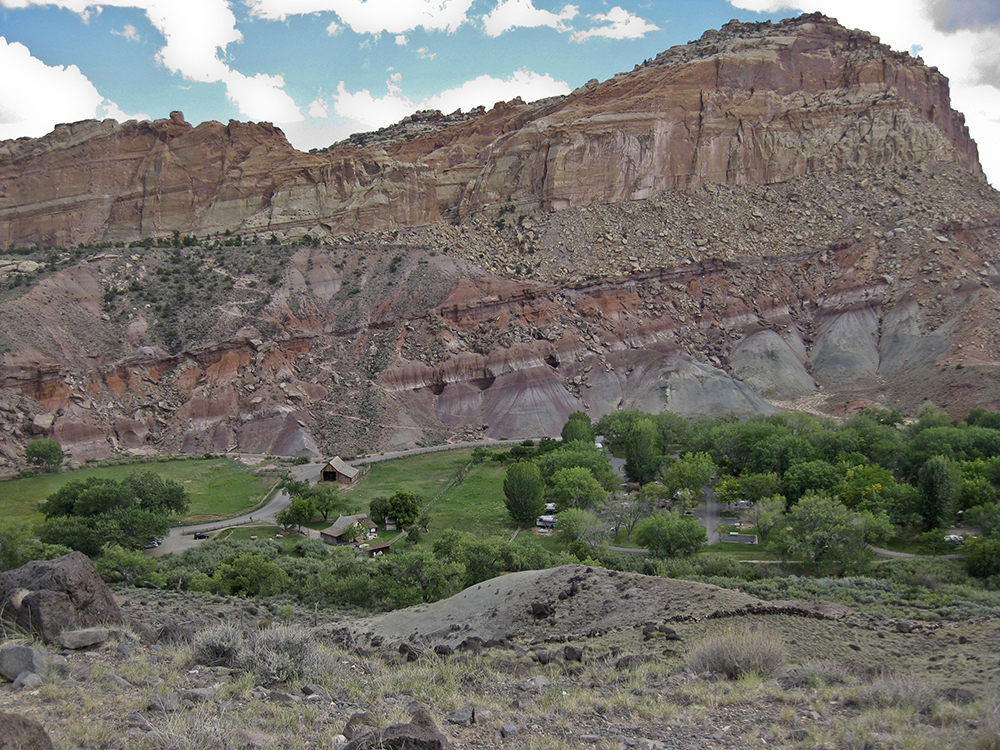
You immediately start climbing up the backside of Johnson Mesa, a platform that sits above Fruita. As you hike, you see remnants of this small Mormon settlement below — orchards, pastures, barns, and schoolhouse. If your legs aren’t already toned, the lack of switchbacks on the steep grade will do a good job of conditioning your calf muscles. At a trail junction, follow the Fremont Gorge Viewpoint Trail to the right, while the service road continues to the left. The trail ascends about 300 feet in the first half mile, climbing a set of rock stairs up the ridge to the top of the mesa.
Easy stroll atop Johnson Mesa
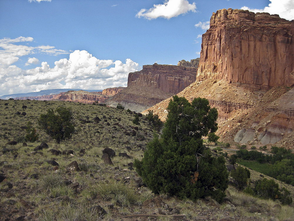
As you crest Johnson Mesa, the 600-acre shelf of land above the Fremont River, the trail levels out and you can trace the Scenic Drive past Fruita continuing along the cliffs of the Waterpocket Fold. Black boulders are scattered among the tufts of grass, shrubs, and piñon trees. You see these volcanic rocks throughout the park, carried down from Boulder Mountain, the great flat-topped mountain that fills the western horizon. Tips of Navajo Sandstone domes poke out from behind cliffs of Wingate Sandstone to the north.
Steep hike to Gorge Overlook
The trail heads toward a rock formation that resembles a smokestack rising up from the hillside. Passing through a wooded draw, you hike up the steep slope and the trail bends right of the rock formation. The trail is hard to distinguish among all the scree. Follow the worn path to the cairn sitting on top of the rim for views of the Fremont River Gorge. While you can’t actually see water running in the river from here, your eyes can follow the gorge northeast through Fruita and beyond. Return to the historic village by hiking downslope along the same trail.
Directions to the trailhead
From the park visitor center: Continue down the Scenic Drive towards the campground. Turn into the gravel lot next to the old shed and park. The trail follows the service road starting behind a locked gate. There’s a trail sign that reads, “Hiking Route, Fremont Gorge Viewpoint, No Vehicles.”
General LocationCapitol Reef National Park
Distance4.6 miles (7.4 km)
DifficultyModerate
Highest/Lowest Elevation6,500/ 5,400 ft (1,981/1,645 m)
FeesNo fee – Check the website below for current information.