The Island Trail is full of cultural history. Pass 25 archaeological sites on this one-mile loop in Walnut Canyon.
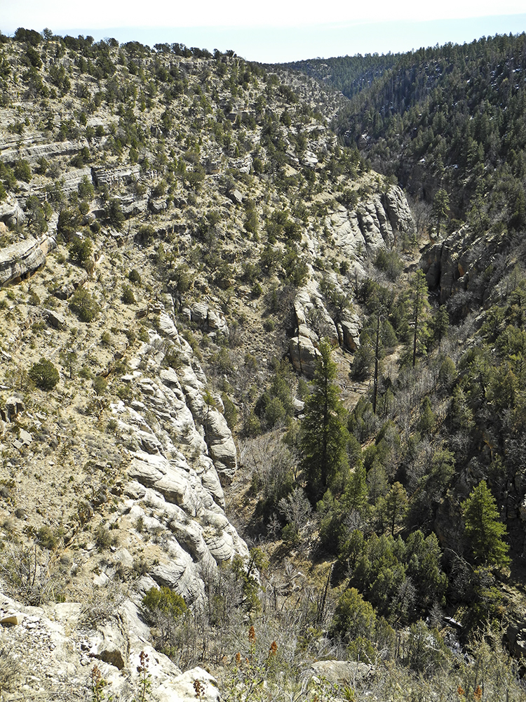
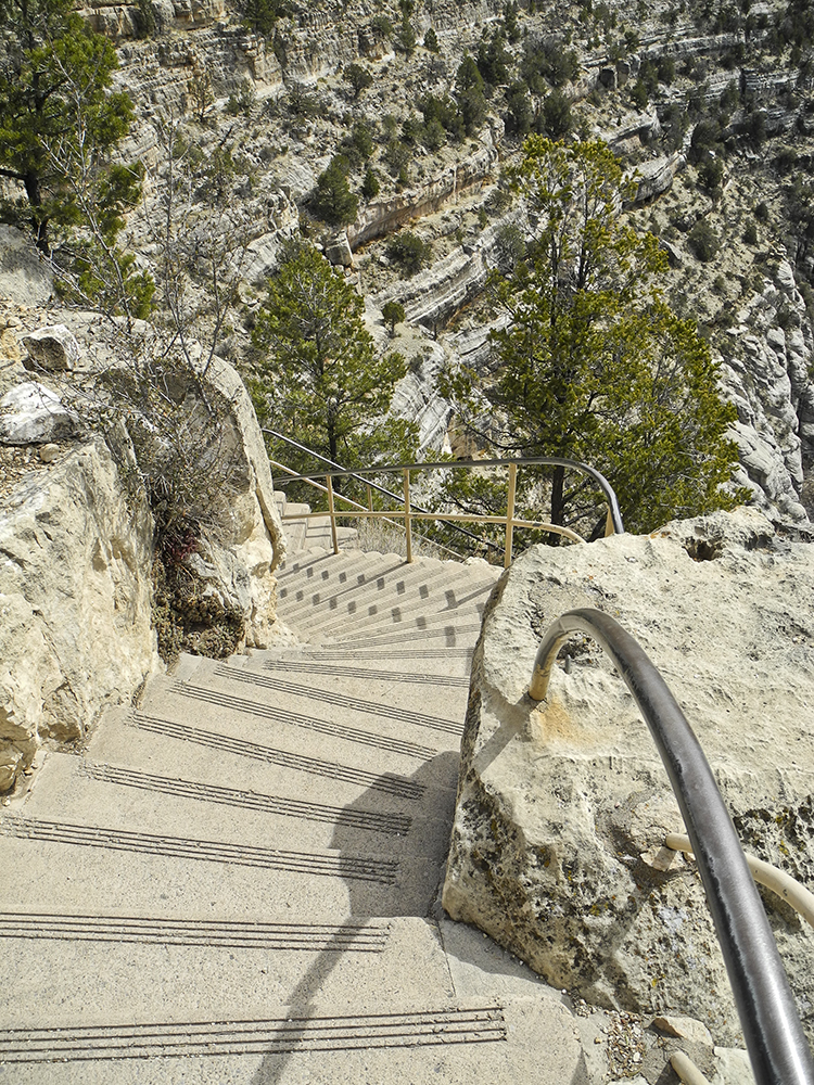
The Island Trail drops down 240 concrete steps into the depths of Walnut Canyon, where it loops around a rocky butte called the Island, which was created by a large meander of Walnut Creek.
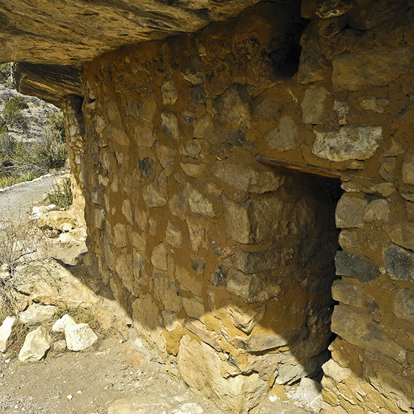
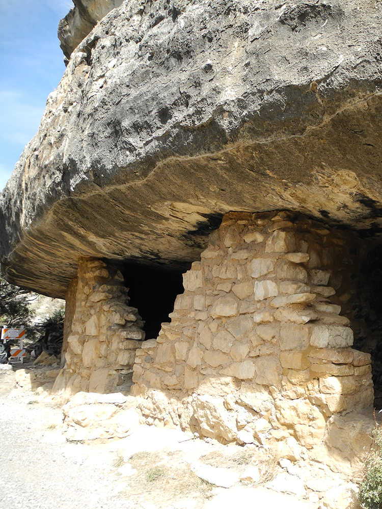
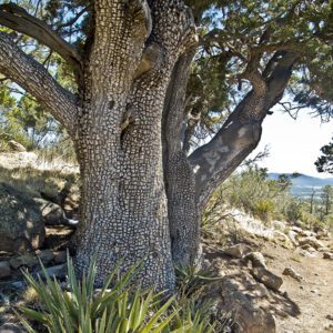
The trail passes 25 partially restored cliff dwellings constructed roughly 800 years ago. It is an intimate trail that gives you a close up look at not only the cliff dwellings, but a variety of native plants clinging to cliff faces. Taking the time to look at the displays and the video in the visitor center will make the hike a richer experience.
Hike the Island Trail
This is a trail that does not mess around. After a couple of short switchbacks, it drops 185 feet into the canyon. At the bottom of the steps, the trail crosses a small saddle to a junction, which is where the loop around the Island begins. From here, the trail is relatively level with short sections of stairs linked by a gravel path. The choice of whether to go right or left is up to you. Whichever way you go, the trail will pass by several prehistoric rooms tucked under rock overhangs.
The rooms you pass were built by prehistoric people known as the Sinagua, a name derived from the Spanish phrase “without water.” While the Sinagua originally arrived in the Flagstaff region somewhere around 600 A. D., the buildings in Walnut Canyon were built and lived in from roughly 1125 to 1250 A.D. Note the blackened ceilings from the soot of fires inside the rooms used for heating and cooking. The Sinagua grew corn, beans, and squash, on the canyon rims and hunted deer, bighorn sheep, and a variety of small animals. They also supplemented their diets with numerous wild plants, many of which still thrive in the canyon.
Sea floors and sand dunes
As you walk around the Island, note the two distinctly different rock layers that make up the canyon walls. The lower layer is known as the Coconino Sandstone, which is composed of wind-blown sand dunes that were deposited along a sea coast about 275 million years ago. It has angled striations, known as cross-bedding, and rounded humps that are petrified sand dunes, which were cemented together millions of years ago. The upper Kaibab Limestone layer is composed of accumulated shells and skeletons that piled up on the floor of the warm ocean that covered this area roughly 265 million years ago. It has taken about 6 million years for Walnut Creek to cut through these layers and for freezing and thawing to create today’s canyon.
Directions to the Island Trail in Walnut Canyon National Monument
From downtown Flagstaff: Drive 3.5 miles east on Highway 89 to the junction with historic Route 66, turn right and proceed past the Flagstaff Mall for 4.5 miles, at which point the road meets Interstate 40. Continue across the freeway and go straight past the Walnut Canyon National Monument sign and follow the entrance road south for 3.3 miles.
From Interstate 40: Take Exit 204 and look for the Walnut Canyon National Monument sign. Follow the entrance road south for 3.3 miles. Go through the visitor center to the small porch built on the edge of the canyon.