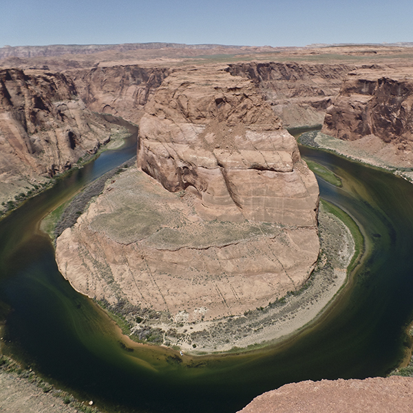
General Location Page, Arizona
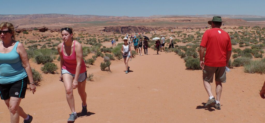
Distance 1 mile (1.6 km)
Difficulty Easy
Trailhead Elevation 4,280 ft (1,305 m)
Highest/Lowest Elevation 4,440/4,180 ft (1,353/1,274 m)
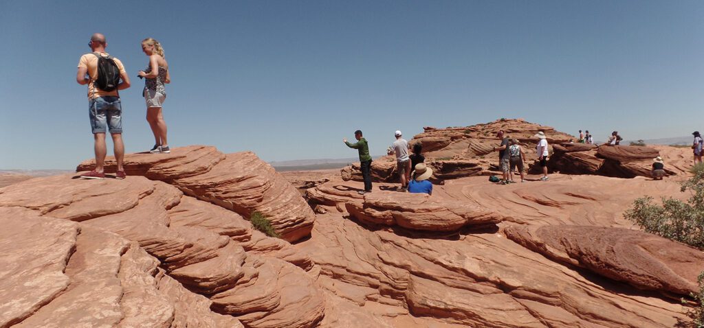
Managed By Glen Canyon National Recreation Area
Fees $10 per vehicle parking fee.
Pets Pets are allowed on a lease. Please do not leave your pet in your vehicle.
More Info NPS website