Famous for its 2 billion years of exposed rock layers, the Grand Canyon provides one of the most complete geologic records in the world.
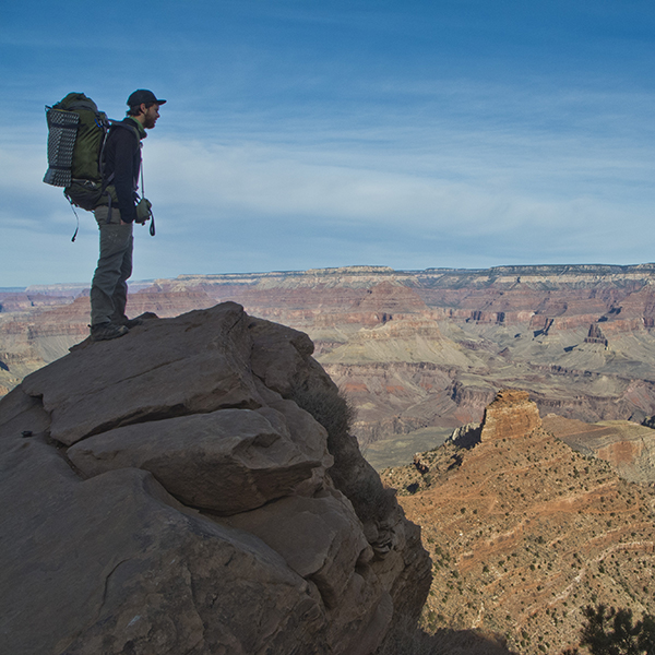
Grand Canyon National Park preserves over 270 miles of the Colorado River, thousands of archaeological sites, and three of four desert types in North America. But you don’t have to be a geologist, archaeologist, or historian to appreciate the Grand Canyon. Join the millions of visitors who come each year to sightsee, hike, backpack, or raft in Grand Canyon National Park.
Visiting Grand Canyon National Park
Perhaps the hardest thing about planning a trip to the Grand Canyon is choosing which piece of it to experience. People spend lifetimes adventuring in the canyon yet never see every nook and cranny. So, rule number one: accept that you can’t see it all.
For most park-goers, a trip to Grand Canyon National Park begins at either the South or North rims. Traveling between the two takes time and gas. Though only 10 miles apart as the crow flies, it’s a 200-mile drive between the two rims by car. Which part of the park you visit depends on how much time you have and the park experience you’re looking for.
South Rim
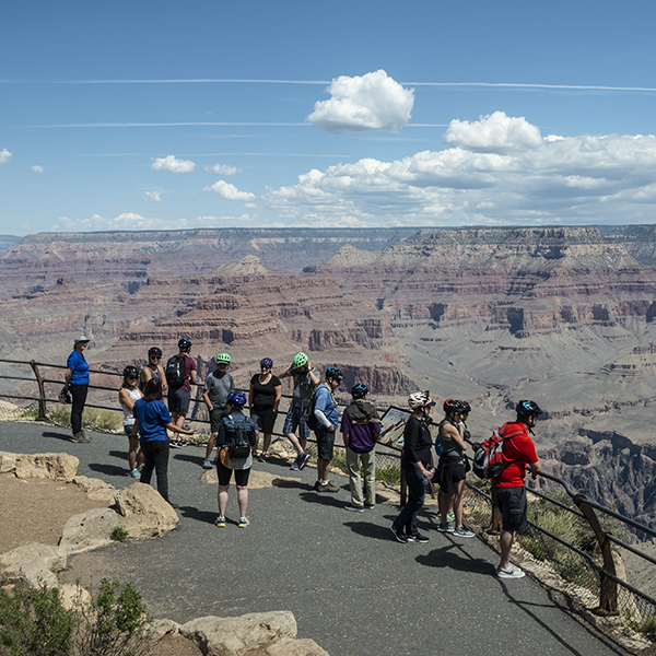
While you can expect stellar views, you also can expect crowds — over 90 percent of park tourists visit the South Rim. But as the most popular part of the canyon, the South Rim also has the most services, amenities, and attractions. Grand Canyon Village includes the main park visitor center, campgrounds, lodges, museums, gift shops, restaurants, and shuttle buses to major viewpoints.
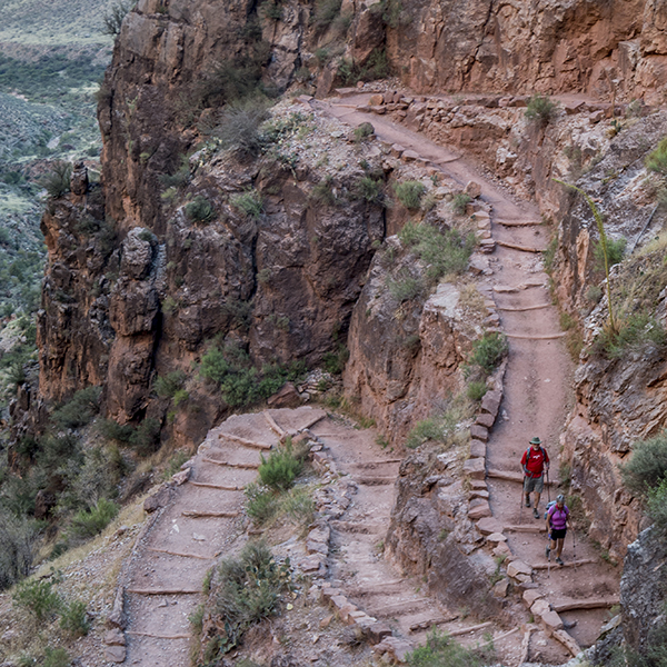
The South Rim, open year-round, also grants access to two of the Grand Canyon’s most popular trails — the Bright Angel and South Kaibab trails — where many rim-to-rim hikers start or end their trip. Camping below the rim requires a backcountry permit
Getting there: You can reach the South Rim and Grand Canyon Village from Williams, Arizona via Hwy 64, or from Flagstaff, Arizona via Hwy 180 or Hwy 89 towards Cameron.
Trails: Bright Angel Trail | South Kaibab Trail | Hermit Trail | Boucher Trail | Grandview Trail | New Hance Trail | Tanner Trail | Tonto Trail: Grandview to Bright Angel | Tonto Trail Bright Angel to Hermit | Tonto Trail: Hermit to Boucher
North Rim
The North Rim receives far fewer visitors than the South Rim, but what it lacks in infrastructure it makes up for in solitude and seclusion. The views from the porch at Grand Canyon Lodge alone make the long trip worthwhile, and if your trail legs are up for it, a jaunt down the North Kaibab Trail is a must.
The North Rim is also about 1,000 feet higher than the South Rim, making it a cool respite and perfect summertime destination. Because it gets significantly more snow in the winter, the North Rim’s services and roads close each year from mid-October to mid-May. But in good snow years, cold-hardy soles can cross country ski into the park starting from Jacob Lake.
Getting there: Take Hwy 89A to Jacob Lake, Arizona. From there, continue south on Hwy 67 for an additional 43 miles.
Trails: North Kaibab Trail | Widforss Trail | Ken Patrick Trail | Clear Creek Trail | Cliff Spring Trail | Uncle Jim Trail
General Location Northern Arizona
Closest Towns Flagstaff, Williams, Tusayan, and Cameron, Arizona
Cost Check the website below for current information
Managed By National Park Service
Pets Leashed pets are allowed on the trails above the rim, campgrounds, and developed areas. Pets are NOT allowed below the rim. Pets can be boarded at the South Rim Kennel.
More Info NPS website
Adventure awaits
Sign up to get monthly hikes in your inbox for a year.

Special membership offer
Join the Grand Canyon Trust today to receive your adventure kit:
- $25 donation: a Grand Canyon map, The Advocate magazine subscription, bookmark, and sticker
- $75 donation: everything above plus four stunning note cards
- $100 donation: all the benefits of the $75 level, plus a Grand Canyon Trust hat


