Climb to the top of Brins Mesa, descend via the Soldier Pass Trail, and return to the trailhead for an excellent loop hike.
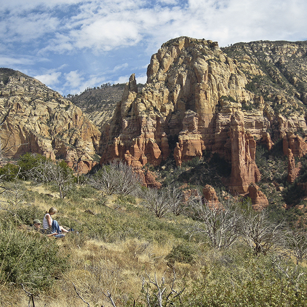
Pause for sweeping views of Sedona’s famous red rocks on the Brins Mesa Trail.
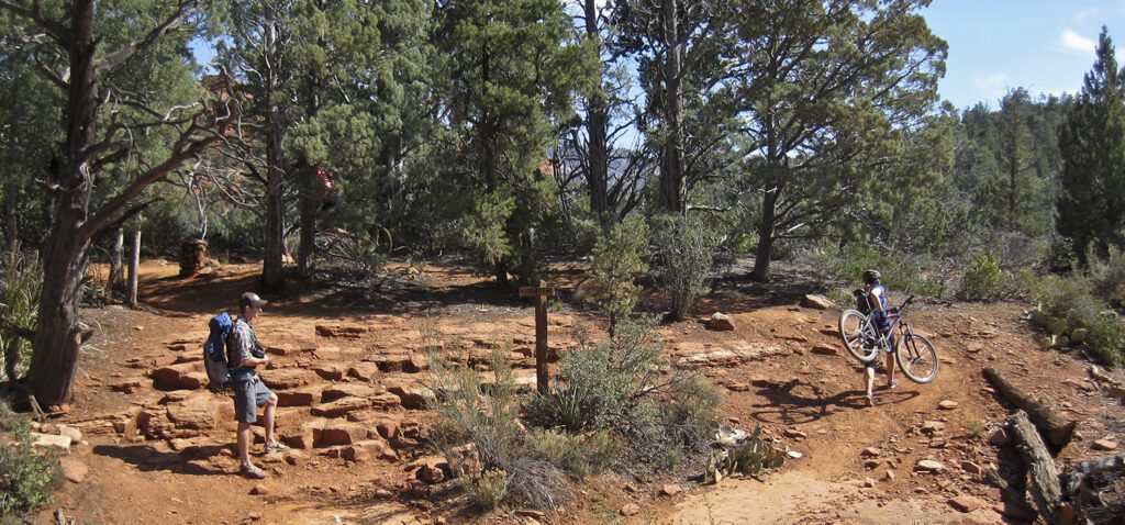
The trail begins near the pit toilets and heads west to a junction with the Jordan Trail. At the junction, continue straight on Trail 119 towards Brins Mesa, passing another junction with Cibola Pass shortly after. You will end up looping back to the trailhead via the Cibola Trail at the end of the hike.
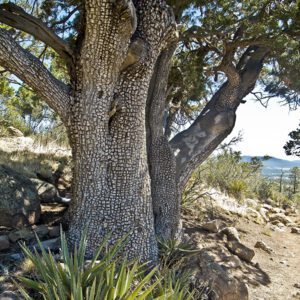
Trail 119 follows the dry wash bottom of Mormon Canyon to the base of Brins Mesa. Heading northwest, you climb gradually through a forest of Arizona cypress, manzanita, and prickly pear. Relics from a cooler time, Arizona cypress hangs on here in moister, shadier locations. Sedona’s famous red rock promontories surround you, including the named Mitten to your left. The easy grade ends around 1 mile, when you begin a steep ascent to the top of the mesa. As you’re climbing, pause and look behind you for sweeping views; a 360-degree panorama awaits when you reach the top.
Across Brins Mesa
Blackened cypress trunks pepper Brins Mesa, remnants of a 2006 wildfire that destroyed about 4,400 acres of forest. The scarred land is slowly recovering, as grasses, shrubs, and wildflowers reclaim the mesa top.
As you walk northwest across the gently sloping mesa, the trail descends and reaches a junction around 2 miles. Turn left onto the Soldier Pass Trail and begin to drop off Brins Mesa.
Down Soldier Pass
The trail turns south, briefly passing over a terraced slickrock chute and continues to descend until you reach the wash bottom. Look for several caverns and arches high above you on the left wall as you head downcanyon. At the bottom the trail levels out, and you proceed to wind around cypress trees and cross the wash often.
At a trail junction, veer left and climb out of the wash to stay on the Soldier Pass Trail (a jeep road parallels the trail on the opposite side of the canyon). As you walk down a small hill, the forest opens into a slickrock bench near 3.4 miles. Linger at the Seven Sacred Pools, a cascade of potholes that usually contain water.
A trail sign points towards Soldier Pass, and you continue a quarter mile to the Devil’s Kitchen Sinkhole. This impressive depression has collapsed several times, enlarging the hole each time. The most recent, in 1989, expanded the opening on the northern wall by one third and caused the giant boulder to calve off into the pit. Past the sinkhole, the trail curves around to a wire-caged cairn and trail sign. Turn left onto the Jordan Trail.
Loop back to the trailhead: Jordan Trail and Cibola Pass
On this last leg of the hike, you head due east along the Jordan Trail. Contour along a slickrock bench, then drop down to a wash bottom. Where the trail splits, veer left towards Cibola Pass and climb up and over a saddle. The trail switchbacks down the backside of Cibola Pass, leveling out as you approach the trailhead. When you reach the junction with Brins Mesa Trail, turn right and return to your vehicle.
Directions to the trailhead
From Flagstaff, Arizona, head south on I-17 for 5.5 miles. Take exit 337 to 89A/Oak Creek Canyon, and continue for about 24 miles into uptown Sedona. Turn right onto Jordan Road, and drive north 1.5 miles to the trailhead.